Site Contents
Home
Salmon Fishing Scotland
Salmon - Where to Fish
Salmon Fishing Tackle
Salmon Fishing Tactics
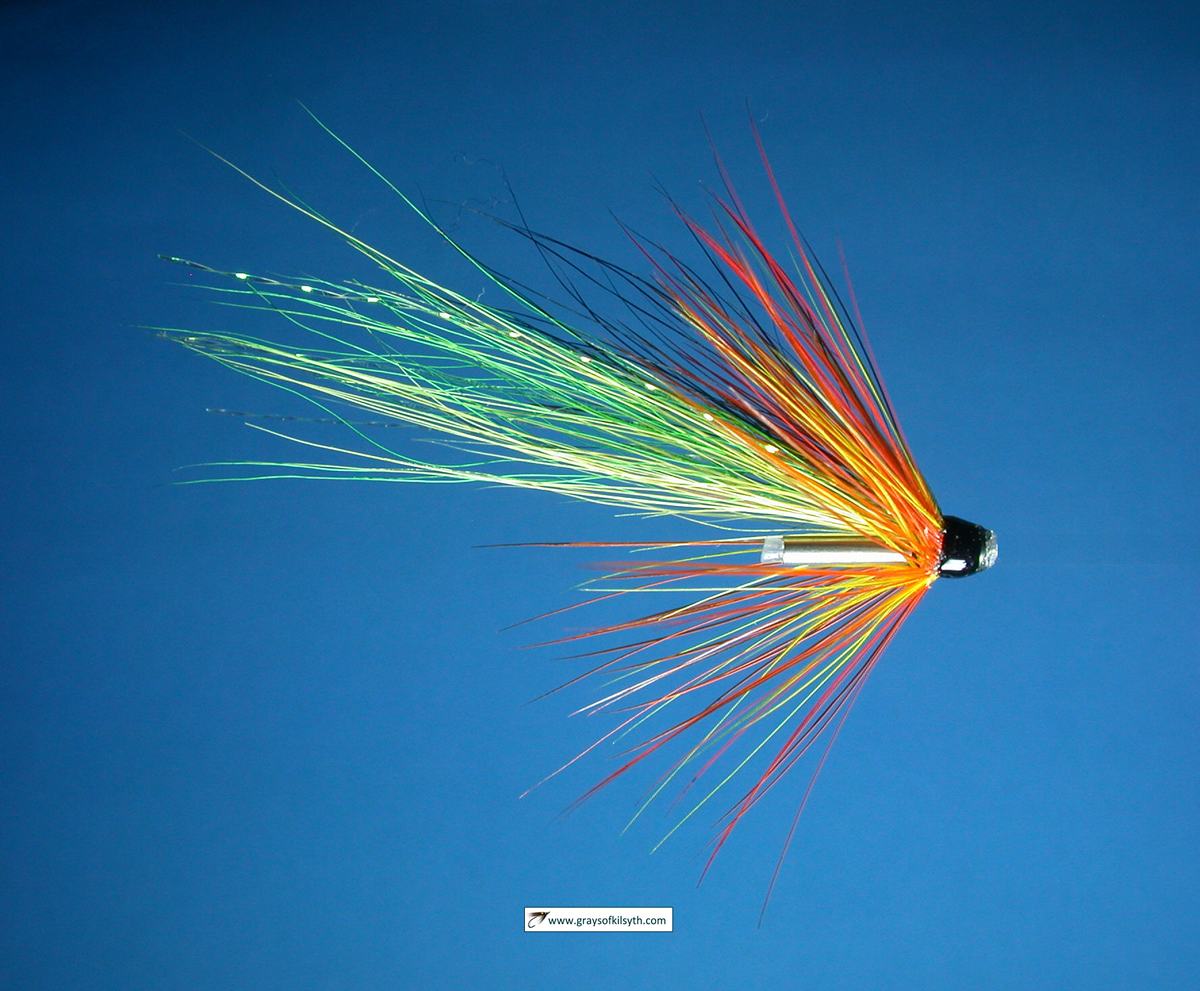
Salmon Flies
Trout Fishing Scotland
Trout- Where to Fish
Trout Fishing Tackle
Trout Fishing Tactics
Trout Flies
Sea Trout Fishing Scotland
Sea Trout - Where to Fish
Sea Trout Tackle
Sea Trout Tactics
Sea Trout Flies
Fishing Maps of Scotland
Fishing Articles
Fly Tying
Fishing Photographs
Book of Flies
Fishing Diary
Where to Stay
Fishing Clubs
Fishing Tackle Shops
Fly Fishing Knots
Fishing Weather
Fishing Books
Salmon Recipes
Flies Online
Links
Sitemap
|
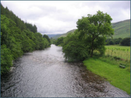
Salmon Fishing - River Ullapool Scotland
O. S. Map 19, 20
The
Ullapool is the name given to the river which flows from Loch Achall
to the sea in Loch Broom, the last four miles in a journey which
began high in the mountains of the Inverlael Forest as the river
Douchary, later to become the river Rhiddorroch which flows into the
eastern end of Loch Achall.
There are
three beats on the River Ullapool, of which the middle beat is generally
regarded as the best. Loch Achall was once noted for its sea trout but,
in common with many west coast rivers, stocks of sea trout have declined
dramatically in recent years. The Ullapool River can be expected to
produce around 70 salmon in a season. Salmon and sea trout fishing is
available on the south bank, on the lower beat from Moss Bridge down to
the sea. Permits at £6 per day from Lochbroom Hardware, Ullapool, Tel:
01854 612356. See also details of the fishing on Rhidorroch Estate at
Scotland
Holiday Cottages
Salmon and sea trout fishing may also be
available on the River Broom and River Lael, which flow into the
head of Loch Broom. Inverlael Estate lets two rods on 1.5 miles
of one bank of the River Broom, with ten pools, the lower of
which is tidal. The River Broom is very much a spate river,
requiring rain to give of its best. Inverlael Estate also offers
fishing on the River Lael. Contact Inverlael Farmhouse, tel:
01854 655262
River Broom |
|
|
River Ullapool Fishing Map
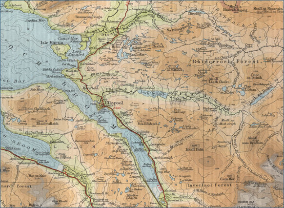
click on map to select an area to enlarge The maps on this website have been
reproduced with the permission of Collins Bartholomew. Please note that these maps may date back several decades.
Much of the human detail will have changed but the character of the rivers and
lochs, and the trout and salmon in them, will be much the same as they have
always been.
In addition to the information provided
here, I would recommend that anyone planning a fishing or
walking trip in Scotland should equip themselves with a compass
and the appropriate Ordnance Survey map. The most useful of the
O.S. maps for the fisherman is the Landranger series, scale
1:50,000. For each of the lochs and rivers listed here, I have given the
relevant O.S. Map number.
See
Ordnance
Survey Maps |