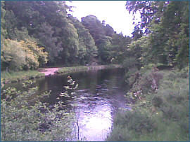
Salmon Fishing - River Alness Scotland
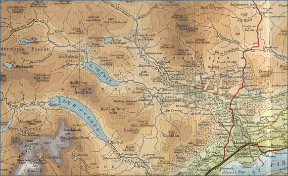
O. S. Map 21
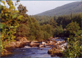
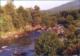
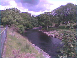
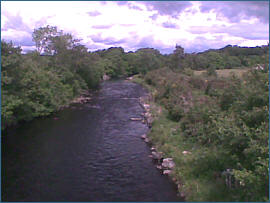
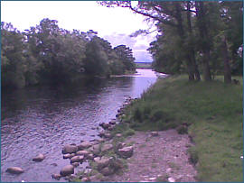
One of the smaller east coast
rivers, the Alness, or Averon, flows for ten miles from Loch Morie
to the Cromarty Firth at Alness. A dam built on Loch Morie helps to
ensure a reasonable flow in the summer months and fresh fish can be
drawn into the river by artificial spates resulting from a release
of water from the dam, as well as maintaining the river at a good
fishing height.
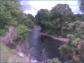
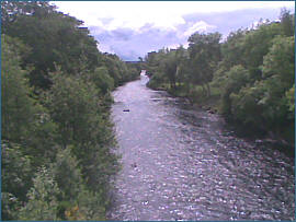
A few fish are taken on the Alness
in the early months of the season, with some fish in the upper river by
April in most years, but the main run of salmon begins in July and
continues through to the season's end in October.
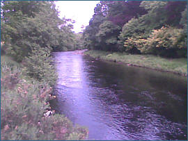
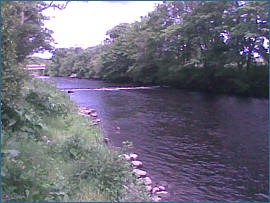
The river has both estate and club
water available. Novar Estates have six rotating beats and the Home
beat. The Alness Angling club controls good stretches of productive
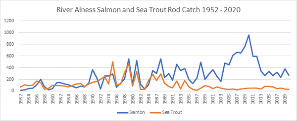
water on both the lower and upper river. Annual catches are in the
region of 200 to 300 salmon. The Alness also has a fair run of sea
trout, with about 100 taken each season.
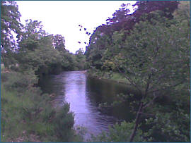
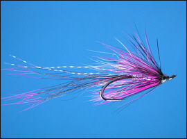
The lower beats are fly only but
worm fishing is allowed on the upper river, but only if fished on a fly
rod and reel.
Angling Clubs and Associations
Alness Angling Club
|