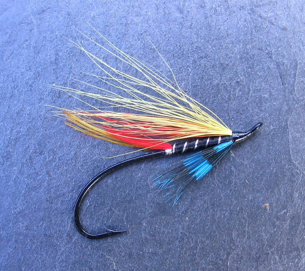
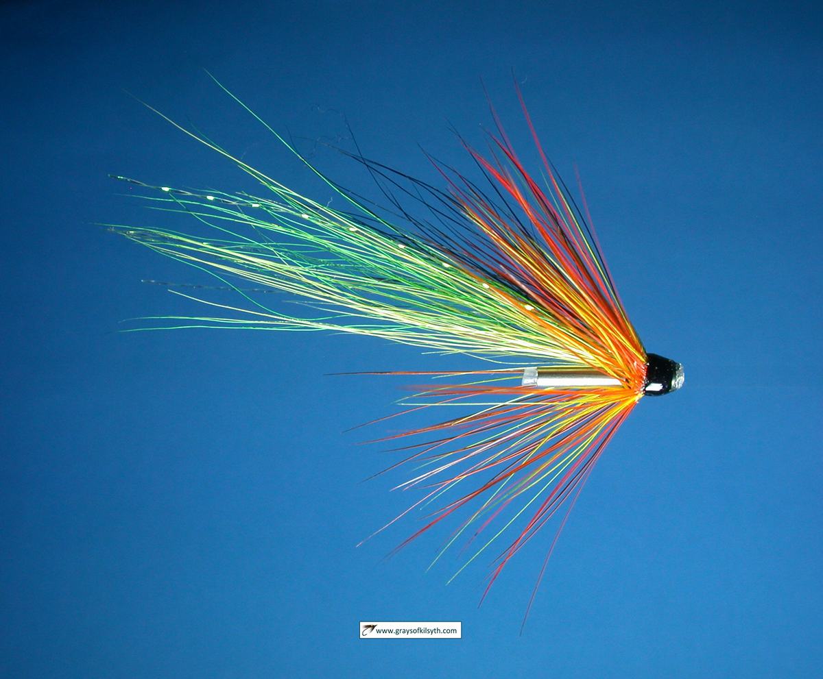
Salmon Fishing - River Carron Scotland
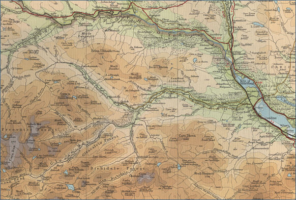
O. S. Map 21
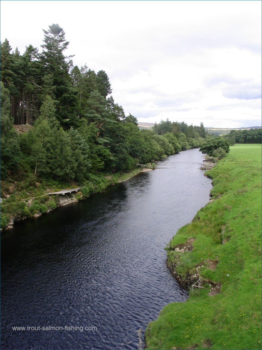
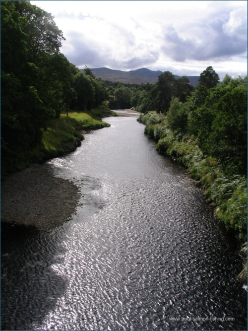
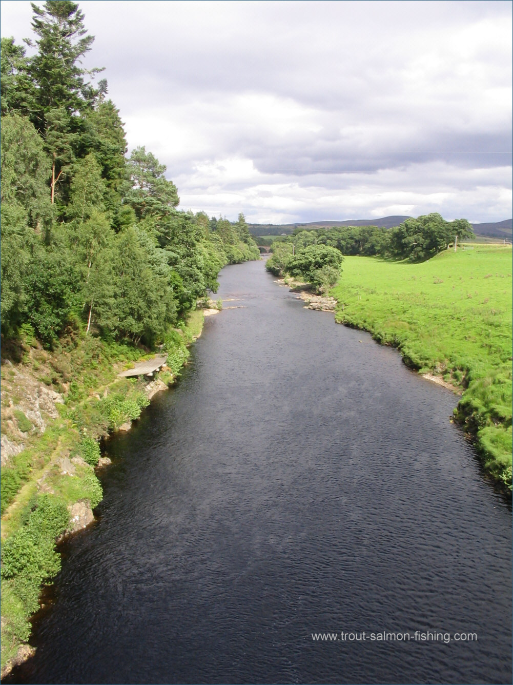
The River Carron is a spate river which flows eastwards joining the Kyle of Sutherland at Bonar Bridge in Easter
Ross. The Carron draws water from a large catchment but a valuable
part of the upper river has been diverted, taking water into the
Conon system. Good spring fishing on the lower river and summer
sport on the upper beats.
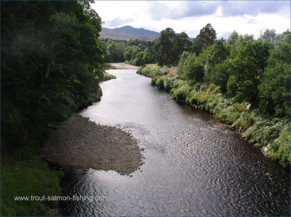
The river Carron relies on rainfall
to fish well and can rise and fall very quickly. Because of its
mountainous upper catchment, the early season flow is helped by snow
melt and the lower pools, the Raven, Whirl Pool and up as far as
Gledfield, can fish well even as early as January, with the spring
fishing continuing till early May. June sees the start of the sea trout
run, along with grilse and summer salmon, which move quickly through to
the upper beats, which see the best of the summer sport.
Although the
entire river has traditionally been in private hands and access strictly
limited, with a lengthy waiting list for rods, rods may now be
available, through letting agents CKD Galbraith at a cost in the region
of £150 to £300 per rod per week.
|