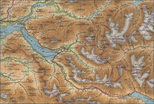
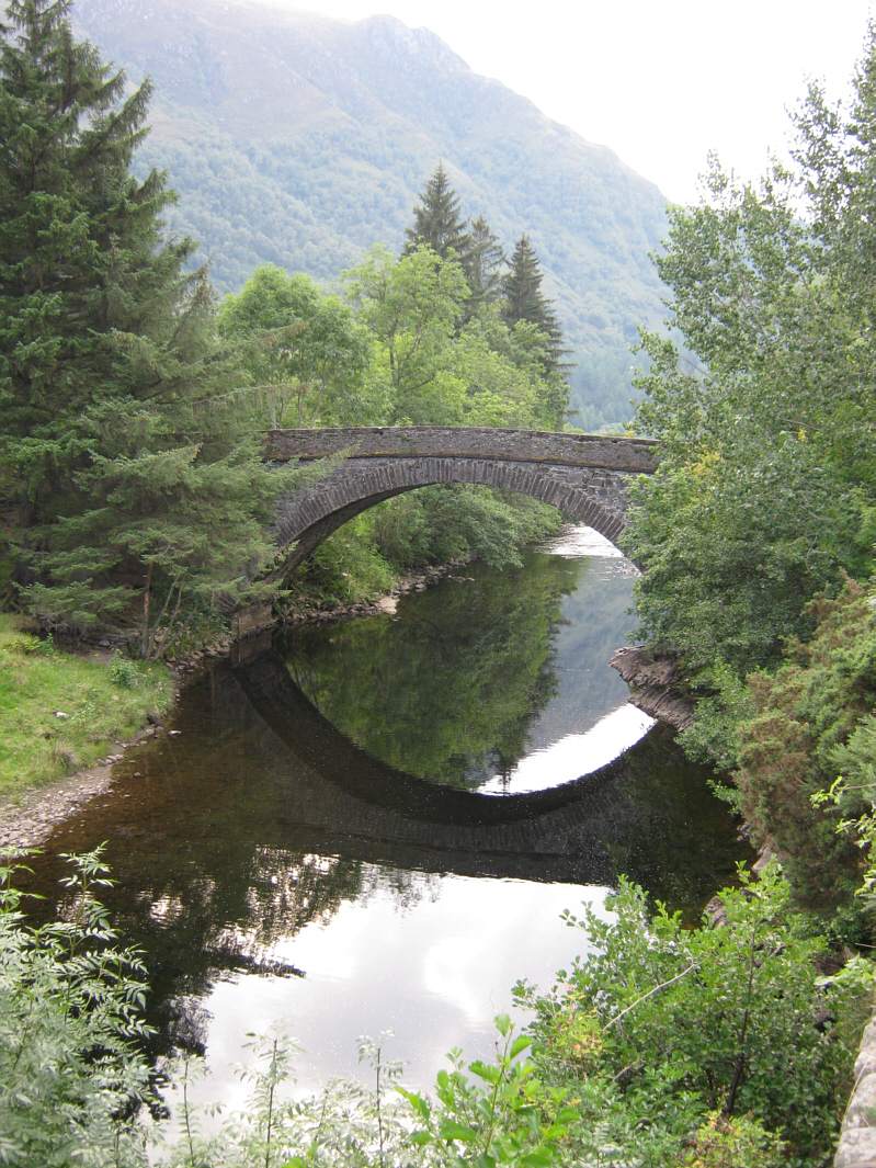
|
| |
|
|
|
Salmon Fishing in Scotland River Croe and Shiel
|
O.S. Map 33
The Croe is a small Kintail
spate river flowing through spectacular scenery for four miles to
the sea at Morvich, on Loch Duich. To the west of the Croe lies the
River Shiel, a ten mile long spate stream entering the sea at Shiel
Bridge, also on Loch Duich, both rivers surrounded by spectacular
mountains of Kintail Forest.
|
|
|
|
|
|
|
Interactive Map of the Rivers Croe & Shiel
View Google maps and aerial satellite photographs of
the Rivers Croe and Shiel
You may also search for information about the
area using the map search function
Javascript should be enabled to view
this map map provided by Google
Maps API |
| |
| Change views, e.g. map or
satellite photograph, using the buttons at
the top. |
| Zoom in or out on
map or satellite view using slider on left. |
| Move to
right or left, up or down using the arrows or by clicking and dragging
any point on the map. |
| Search for
information by typing a word or phrase (e.g. "hotel accommodation") into the search box. |
| Return to original
map location by clicking the centre of the circle top left. |
| |
|
| |
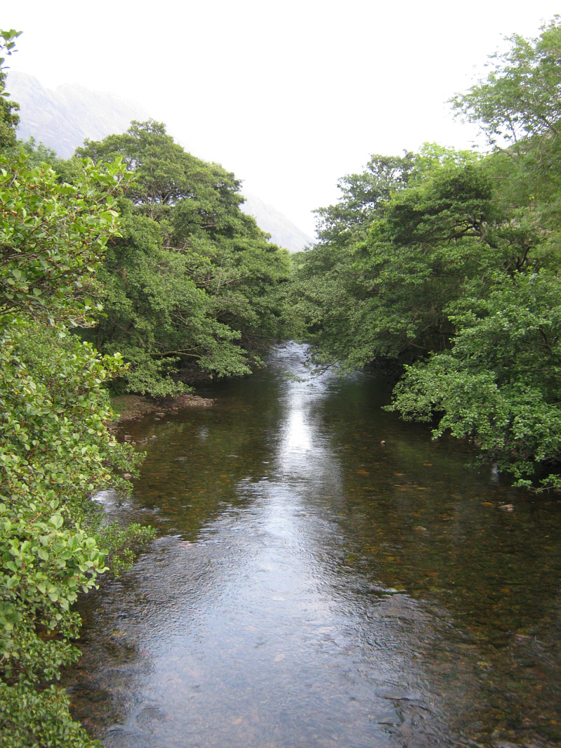
Salmon Fishing on the River Croe
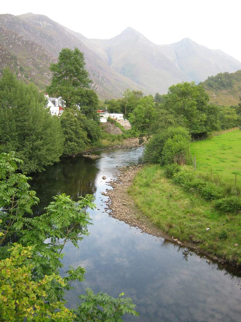
The River Croe is
fairly slow flowing and runs very clear, except in times of spates which
are needed to bring fish into the river. The salmon, grilse and sea
trout fishing was once good on the Croe from July to September. The
fishing was popular with salmon averaging 6 pounds and sea trout 2
pounds. Sadly, owing to a collapse in stocks of migratory fish, the
fishing has been closed in recent years. The fishing is managed by The
National Trust for Scotland and enquiries should be directed to the
Warden, Morvich Farm, Inverinate, By Kyle of Lochalsh.
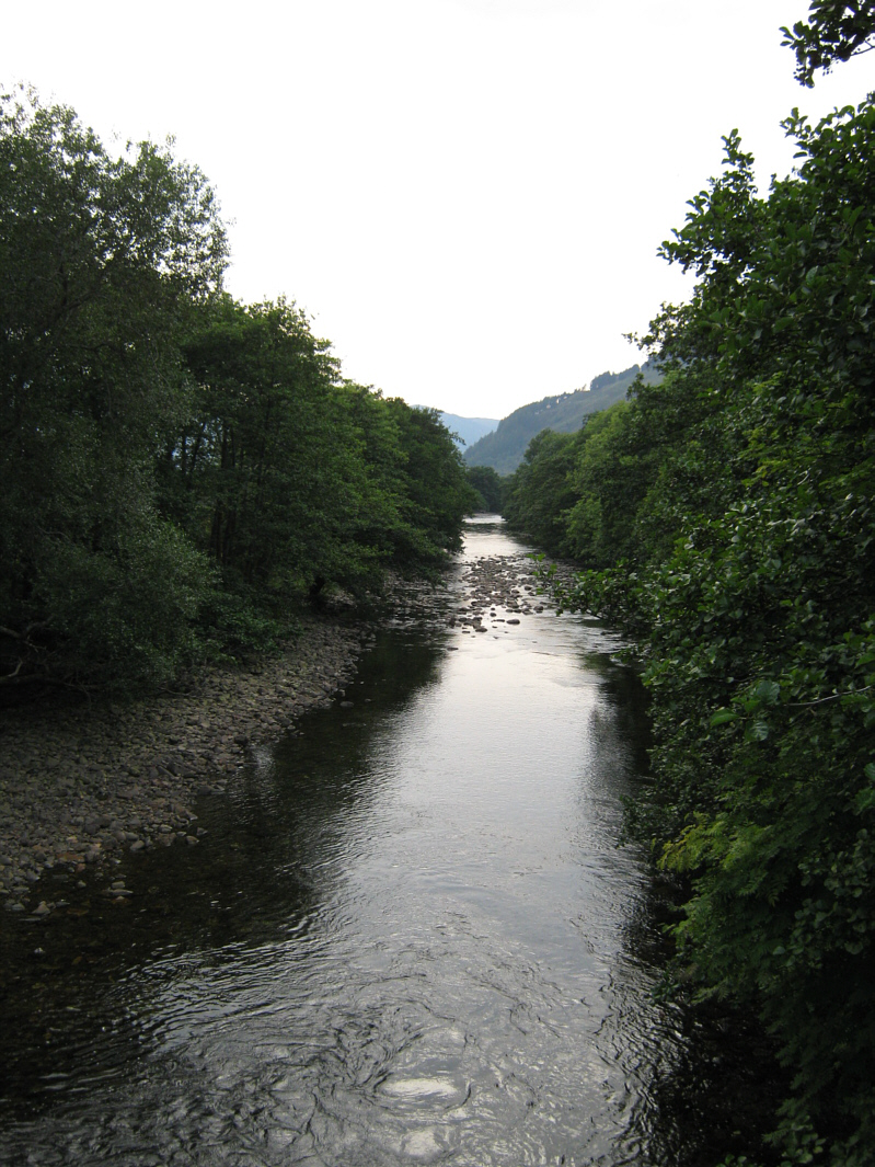
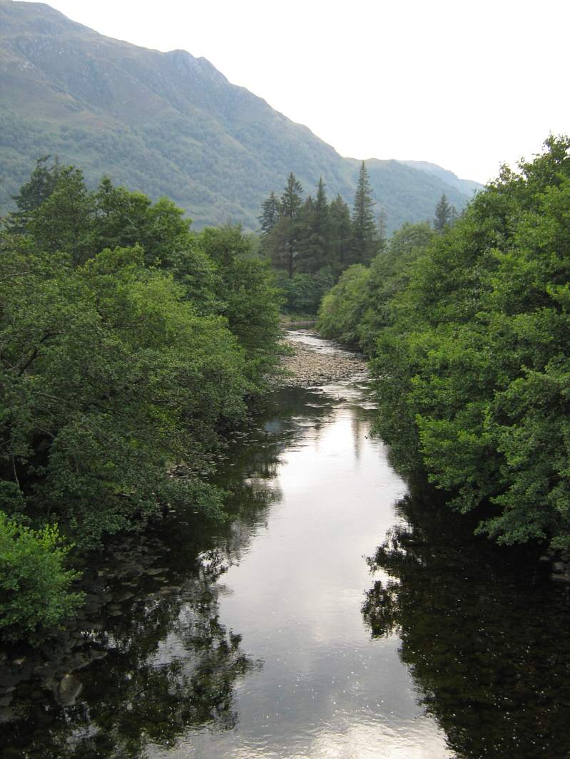
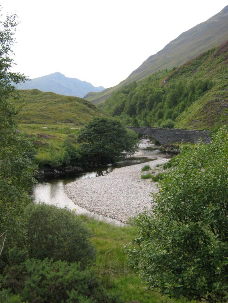
Salmon Fishing on the River Shiel
The River Shiel should produce
anything up to fifty salmon in a season but stocks of sea trout have
collapsed in recent years. The fishing on the Shiel is confined to the
lower four miles and good sport is very much dependent on rain to raise
the river and bring fish in from Loch Duich. Given rain, salmon will
enter the river from July onwards. Rods are usually let in conjunction
with Shiel Lodge, a self catering property close to the fishing. |
| |
|
River Croe and Shiel - Fishing Map
|
To view a larger scale map of a particular
section of the River Croe or Shiel, click on a selected area of the map below. |
|
|
click on map to select an area to
enlarge
|
The maps on this website have been
reproduced with the permission of Collins Bartholomew.
Please note that these maps may date back several decades.
Much of the human detail will have changed but the character of the rivers and
lochs, and the trout and salmon in them, will be much the same as they have
always been.
In addition to the information provided
here, I would recommend that anyone planning a fishing or
walking trip in Scotland should equip themselves with a compass
and the appropriate Ordnance Survey map. The most useful of the
O.S. maps for the fisherman is the Landranger series, scale
1:50,000. For each of the lochs and rivers listed here, I have given the
relevant O.S. Map number. See Ordnance
Survey Maps |
|
|
|