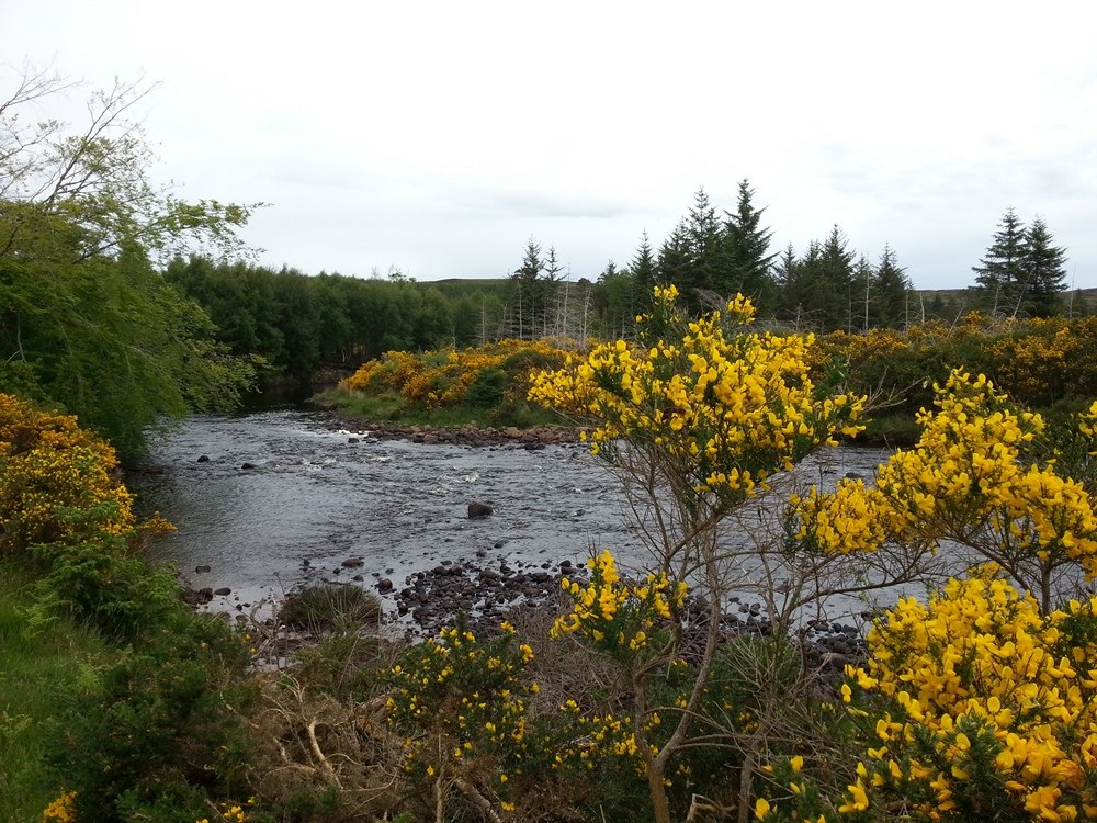
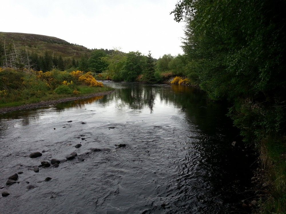
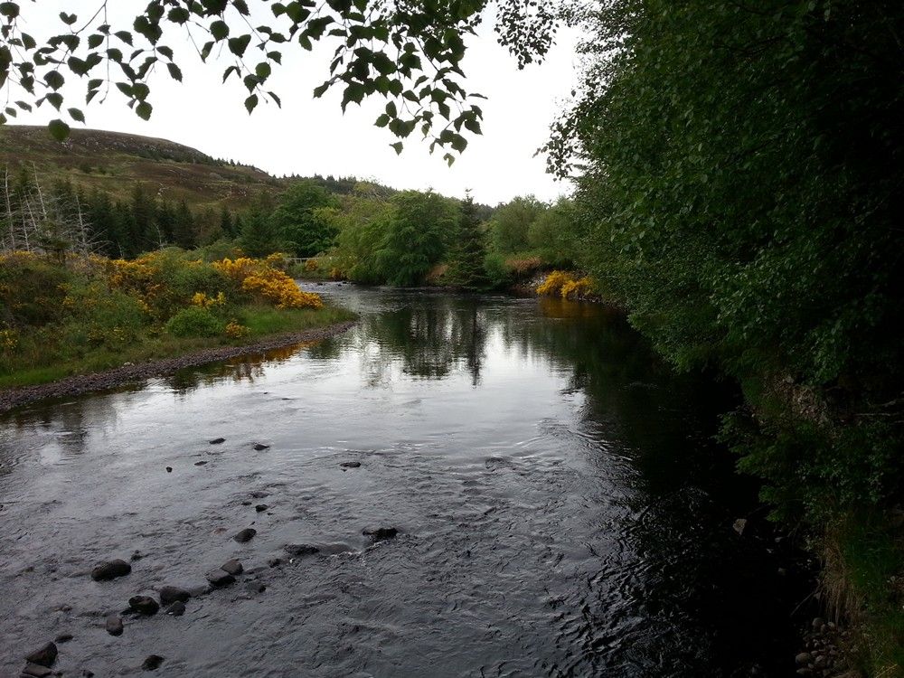
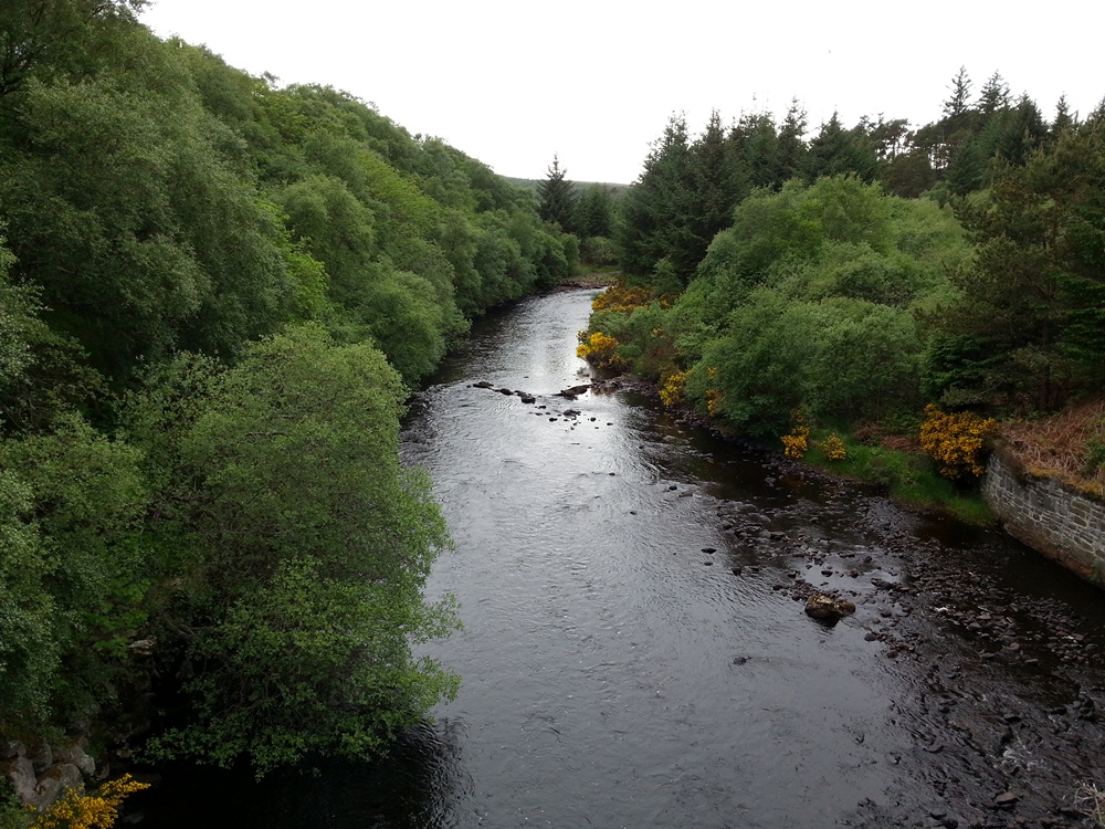
Salmon Fishing - River Borgie Scotland
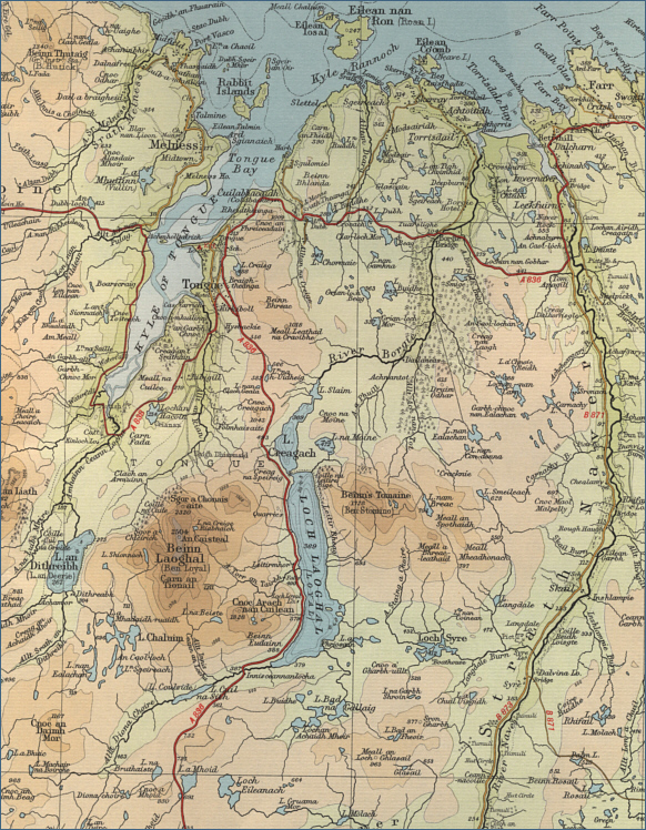
O. S. Map 10
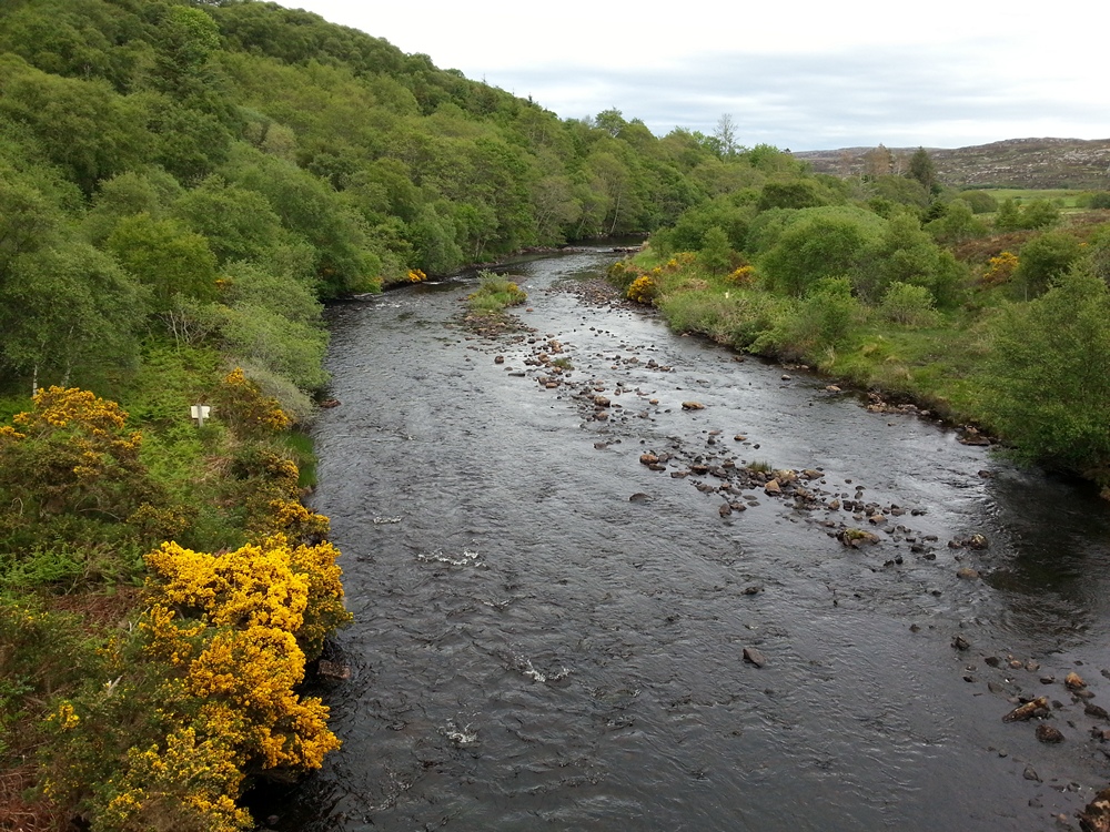
Rising on the southern slopes of
Ben Loyal, the River Borgie runs through lochs Coulside, Loyal and Craggie,
before continuing its attractive course to enter the sea in
Torrisdale bay. The best of the salmon fishing is in July, August and
September and a good year might see 300 salmon caught. The river,
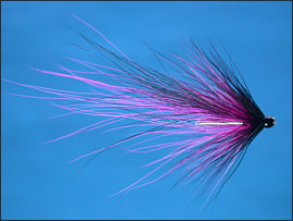
like most of the northern salmon rivers, is fished by fly only.
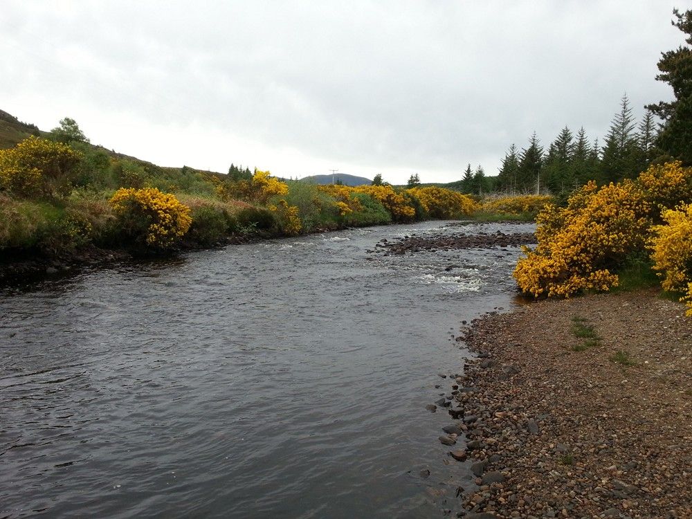
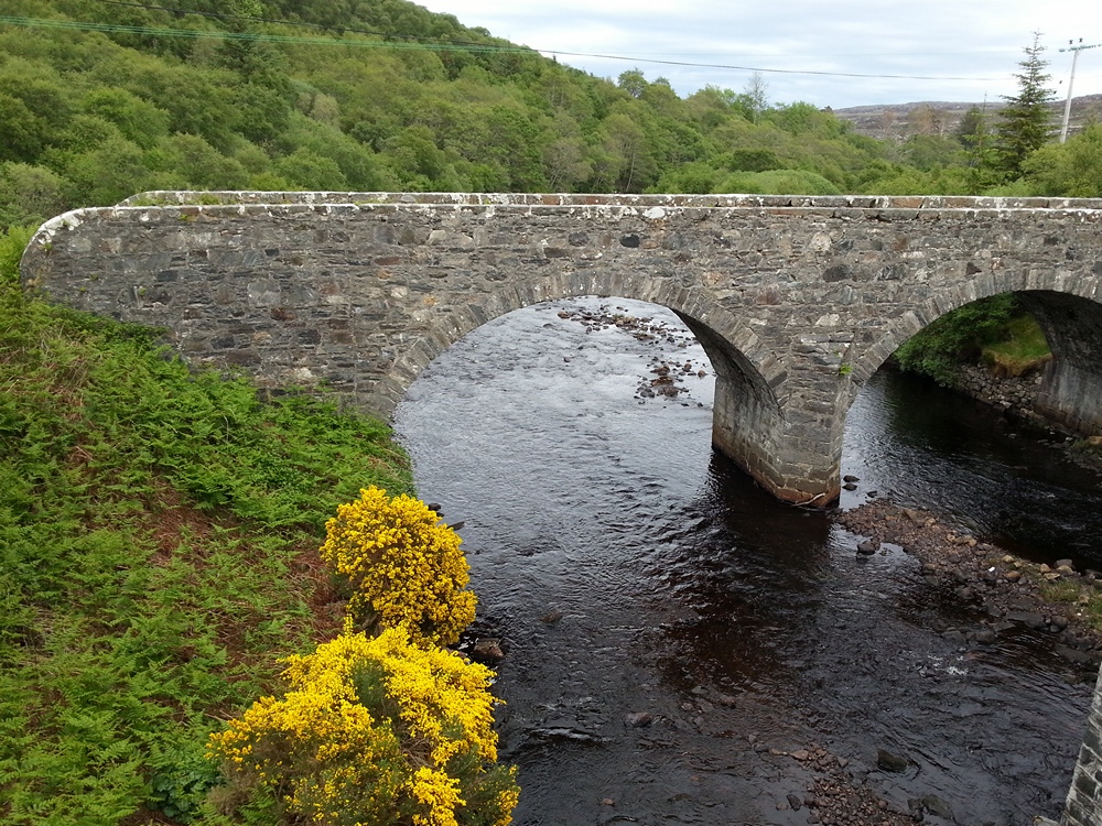
The river Borgie is divided into four two-rod salmon
fishing beats, with 50
named pools. There is a good grilse run in the summer. Below beat one,
the lower river, which can be fished on a day ticket at a cost of about
£25, includes some nice pools. There are also many fine trout fishing
lochs in the area which might be particularly appealing at times of low
water on the river. Enquiries should be directed towards local hotels
such as the Borgie Hotel and the Ben Loyal Hotel, which issues fishing
permits, at very reasonable rates, for the loch fishing and the fishing
on the Kyle of Tongue managed by the Tongue Angling Club (see
Trout fishing Tongue )
|