Salmon Fishing - River Kirkaig Scotland
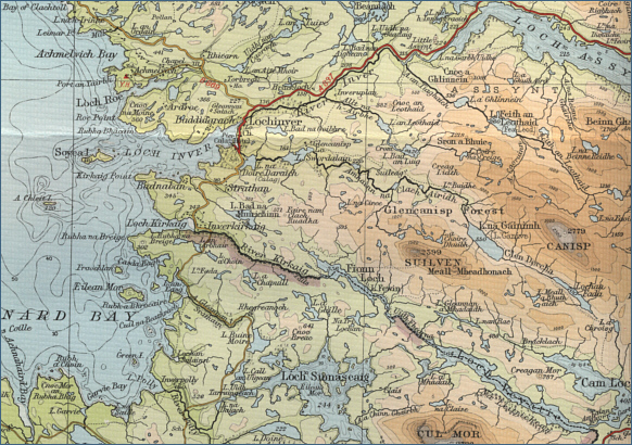
O. S. Map 15
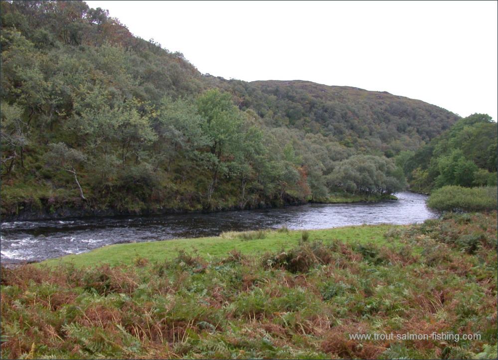
The river Kirkaig is an attractive river but the
rough and rocky nature of the river makes for very challenging
salmon fly fishing. To cover the pools effectively requires the
agility and stamina of a mountain goat and is not for the faint of
heart, particularly on the uppermost of the three beats, while the
lower beat gives the easiest access.
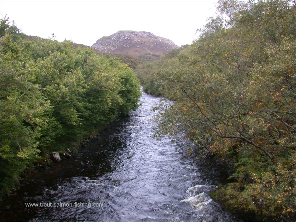
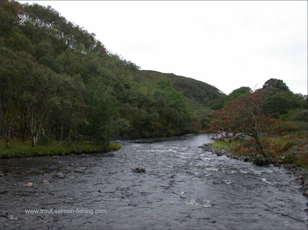
The river Kirkaig, in west
Sutherland, is only fishable for salmon in the bottom two miles
of the river up to the impassable fifty foot high Falls of
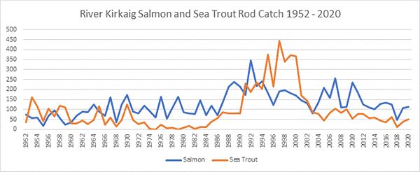
Kirkaig. Nevertheless the Kirkaig produces good numbers of
salmon, some of them big fish, with an overall average weight of
around 10 pounds. The main runs come, as on many northern and
western rivers, with the first spates in July, and continue to
the end of the season in September, which can be an excellent
month on the Kirkaig if the runs have been delayed by summer
drought.
The fishing on the Kirkaig is owned
by Assynt Estate.
|