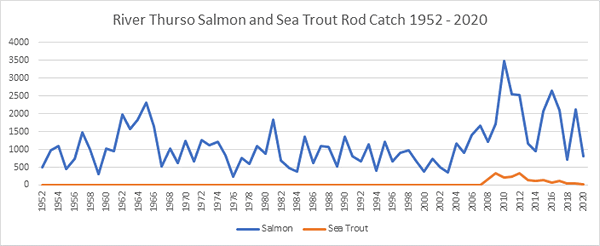
Salmon Fishing - River Thurso Scotland
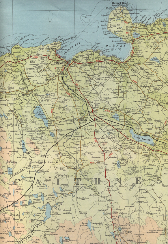
O. S. Map 12
The upper section of the river,
above Loch More, provides extensive and valuable spawning grounds
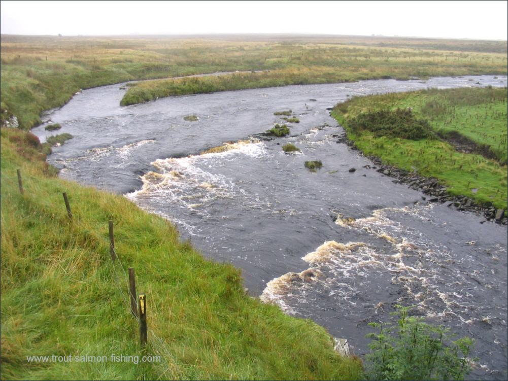
for the Thurso salmon. It is, however, on the main section of the
river, from Loch More to it outflow at Thurso, that the fishing
interest is focussed.
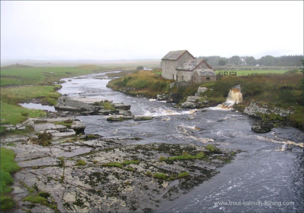
This lower section is divided into 13 beats, excluding
the private beat known as Lord Thurso's beat, which he keeps for
himself, friends and special visitors. Beat one is used by the Thurso
Angling Club. The other twelve beats have been fished in rotation by
guests staying at the Ulbster Arms Hotel in Kalkirk. There are likely to
be significant changes to the management and access to the salmon
fishing on the Thurso, which I understand has been offered as a ninety
nine year lease to private investors.
 |