Salmon Fishing - River Wick Scotland
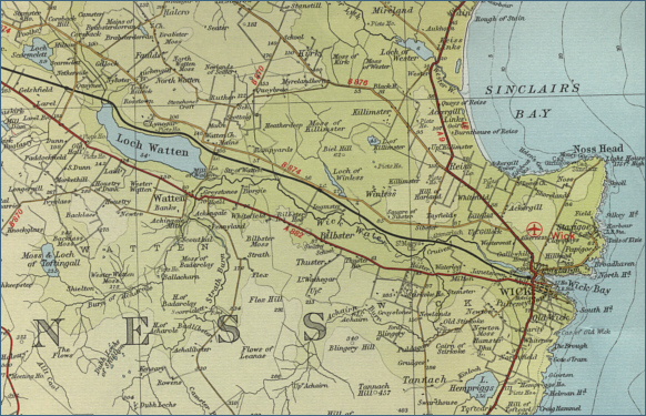
O. S. Map 12
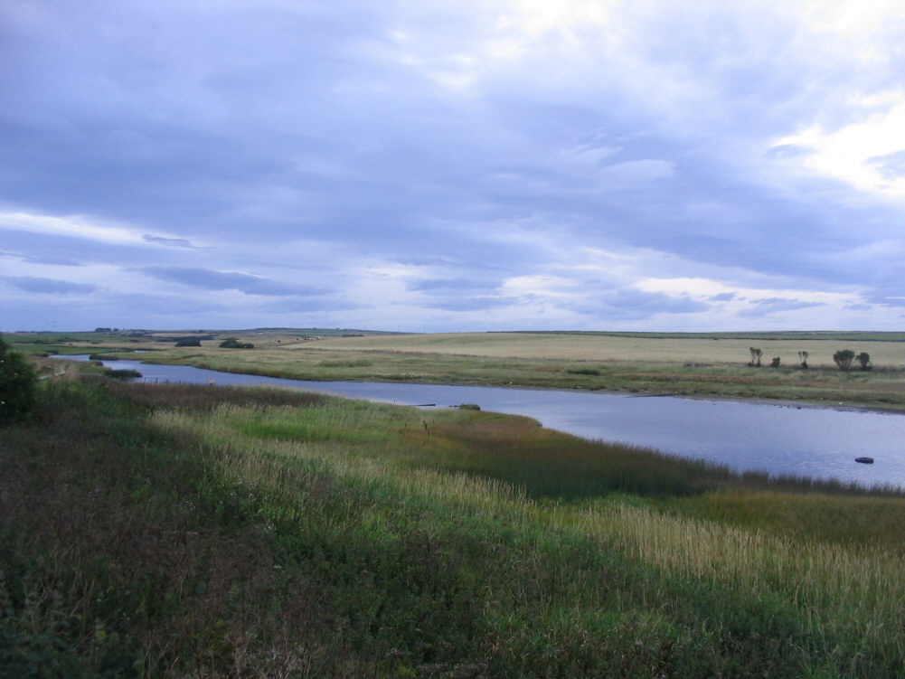
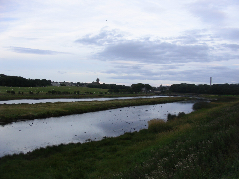
The Wick River, although the second
largest salmon fishing river in Caithness, is quite narrow. Similar to the Halladale with long stretches of sluggish water. This slow water
makes for difficult fly fishing and is
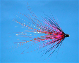
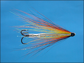
often fished with worm, very much the exception on the northern
rivers, a method which accounts for about half all salmon caught on
the river.
The salmon fishing season on
the Wick River runs from February 11th
to October 21st, with the best of the fishing between May and
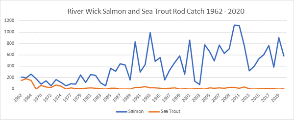
October. Despite the slow nature of the river, it can produce in the
order of 400 salmon in a season, most being caught in the summer months,
and through to the end of the season. Summer sport, however, is reliant
on sufficient rain to maintain the height of the river and bring salmon
and sea trout in
from the sea.
 |