Salmon Fishing - River Shin Scotland
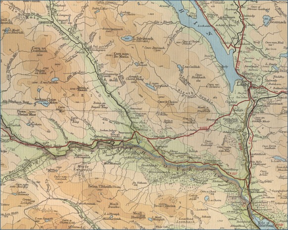
O. S. Map 21
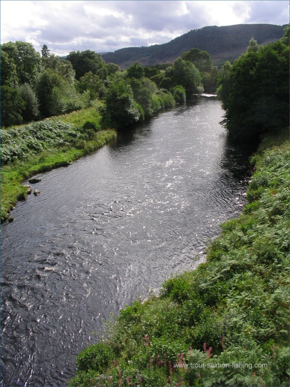
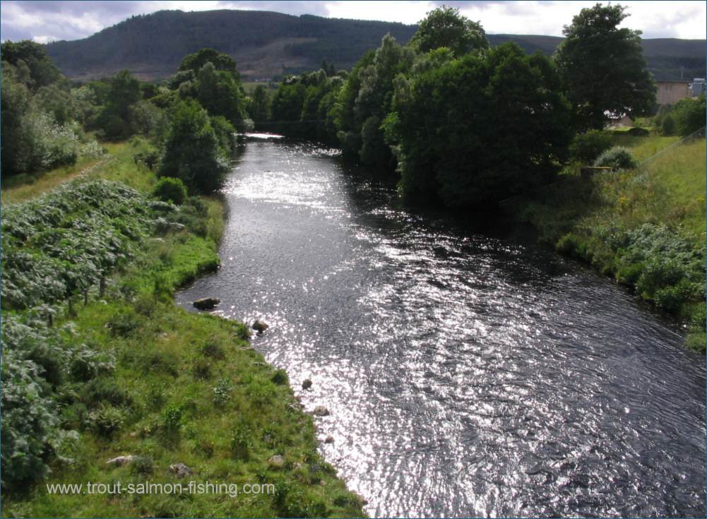
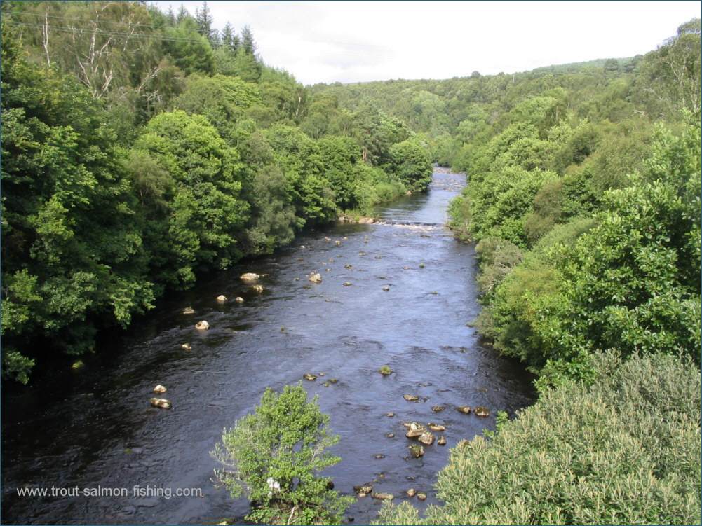
The Shin is a good salmon river,
although it has been affected by
the Loch Shin hydro electric scheme, inhibiting the natural flow of
the river, which flows for three miles from Loch Shin southwards to
the Kyle of Sutherland.
The Shin, though, is an attractive
river which can still produce good numbers of salmon, although the
spring fishing does not now compare with that on the neighbouring
rivers. The Falls of Shin hold fish in the lower river until late May,
so it is here that the spring fishing is most productive, but it is the
summer months that produce the best of the sport, when the fish have
reached the upper river. July is the peak month, with sport continuing
until the end of August. The Shin produces an annual catch of around 700
salmon, some of them up to 20 pounds in weight.
Fishing on the Shin is popular and
difficult to obtain.
 |