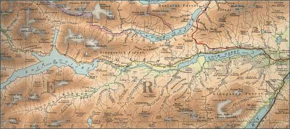
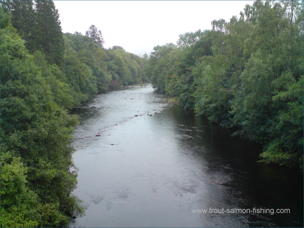
|
| |
|
|
|
Salmon Fishing in Scotland River Garry
|
O.S. Map 34
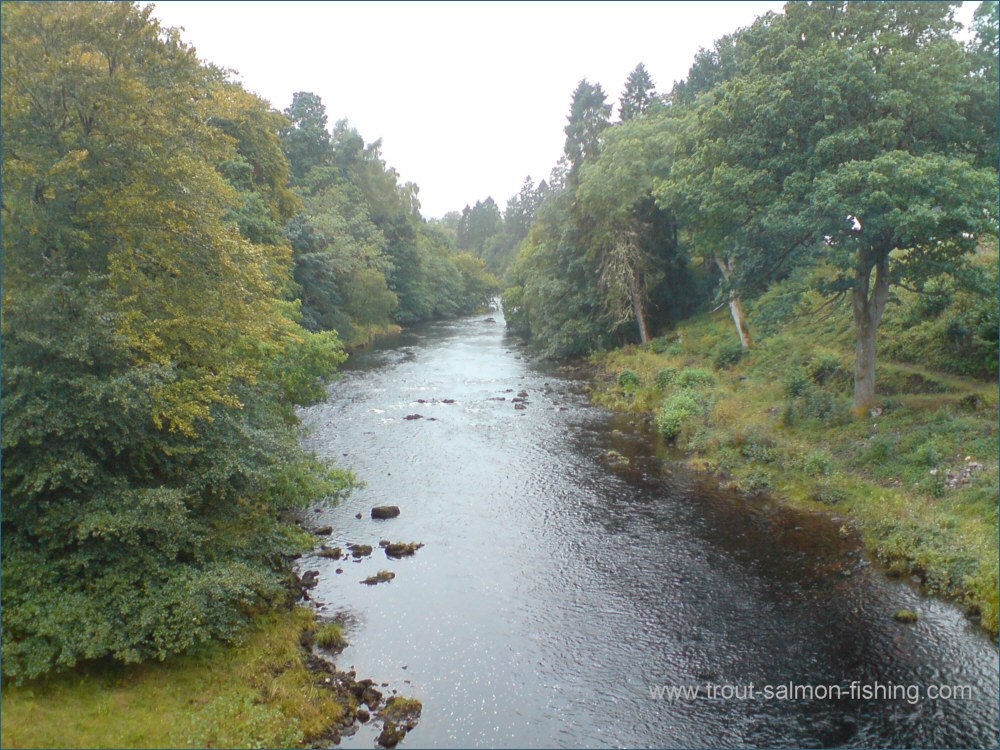
The character of the River
Garry, and its fishing, was greatly altered by the impoundment of
its waters, in the nineteen fifties, for the production of hydro
electricity. Prior to this, the Garry was one of Scotland’s best
spring salmon fisheries, renowned for its large spring salmon,
averaging about 18 pounds, which were in the river from opening day
on January 15th till the end of April.
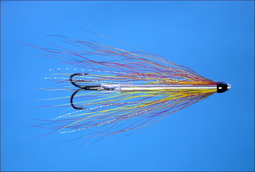
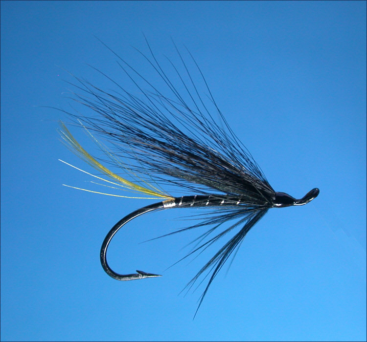
|
|
|
|
|
|
|
Interactive Map of the River Garry
View Google maps and aerial satellite photographs of
the River Garry
You may also search for information about the
area using the map search function
Javascript should be enabled to view
this map map provided by Google
Maps API |
| |
| Change views, e.g. map or
satellite photograph, using the buttons at
the top. |
| Zoom in or out on
map or satellite view using slider on left. |
| Move to
right or left, up or down using the arrows or by clicking and dragging
any point on the map. |
| Search for
information by typing a word or phrase (e.g. "hotel accommodation") into the search box. |
| Return to original
map location by clicking the centre of the circle top left. |
| |
|
|
|
Salmon Fishing on the River Garry
Although salmon can
be taken from the loch and upper river, most of the
salmon fishing on the Garry is now done on the three and
a half miles of the lower river, from which around 100
salmon can now be expected in a season. The fishing on
the river, for six rods, is normally by weekly let but
day permits may be available.
Contact the
Invergarry Hotel, Invergarry, Inverness-shire. |
|
|
|
 |
|
 |
|
River Garry |
|
River Garry at Invergarry |
|
|
|
|
|
River Garry - Fishing Map
|
To view a larger scale map of a particular
section of the River Garry, click on a selected area of the map below. |
|
|
click on map to select an area to
enlarge
|
The maps on this website have been
reproduced with the permission of Collins Bartholomew.
Please note that these maps may date back several decades.
Much of the human detail will have changed but the character of the rivers and
lochs, and the trout and salmon in them, will be much the same as they have
always been.
In addition to the information provided
here, I would recommend that anyone planning a fishing or
walking trip in Scotland should equip themselves with a compass
and the appropriate Ordnance Survey map. The most useful of the
O.S. maps for the fisherman is the Landranger series, scale
1:50,000. For each of the lochs and rivers listed here, I have given the
relevant O.S. Map number. See Ordnance
Survey Maps |
|
|
|