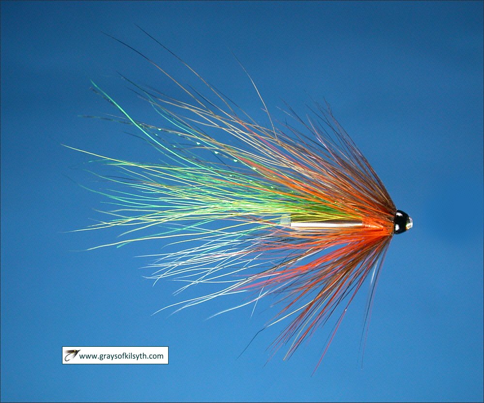
Salmon Fishing - River Lochy Scotland
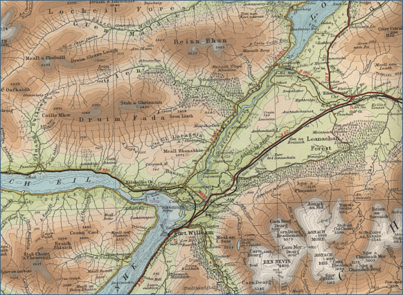
O. S. Map 41
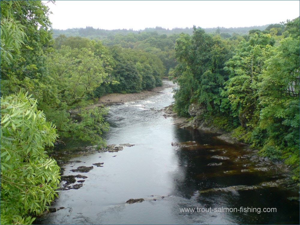
Lying in the shadow of Ben Nevis, The River Lochy is an
attractive salmon river, flowing the nine miles from Loch Lochy to
Loch Linnhe near Fort William. Salmon and sea trout fishing,
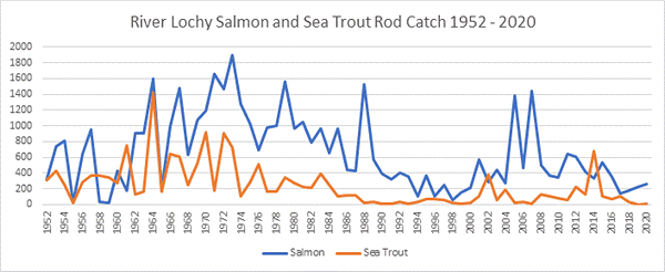
although the sea trout have declined in recent years.
The main salmon months on the river
are July, August and September, when somewhere in the region of 200
salmon might be caught. The river is divided into four main beats, with
40 named pools, let privately through sporting agents and the lower
section of the river, known as beat 7, is let to Fort William Angling
Association. This association water is an excellent bit of water,
stretching from the tide for about a mile upstream of Fort William. A
fifteen foot rod is needed to cover the water adequately.
For information about the fishing on
the Association water, contact the Rod & Gun Shop, Fort William.
Rivers Roy and Spean
The main tributaries of the Lochy
are the Spean and the Roy. The Spean is a steep and rocky river which
relies on River Roy spate water to fish well. Spinning is a popular
method on the Spean in high water. Some of the water on the Spean is
under the control of angling clubs. For information on access, contact
the Rod and Gun Shop in Fort William.
The River Roy joins the Spean about
four miles upstream of Spean Bridge. The Roy flows naturally, unimpeded
by man made schemes and spates on the Roy bring fish into both rivers,
most of them bound eventually for the Roy. Bait fishing is permitted on
the Roy in addition to fly and spinner and most fish are taken on worm
|