Salmon Fishing - River Naver Scotland
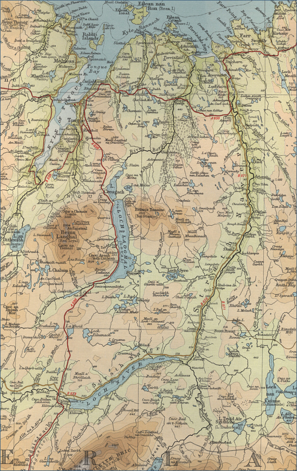
O. S. Map 10
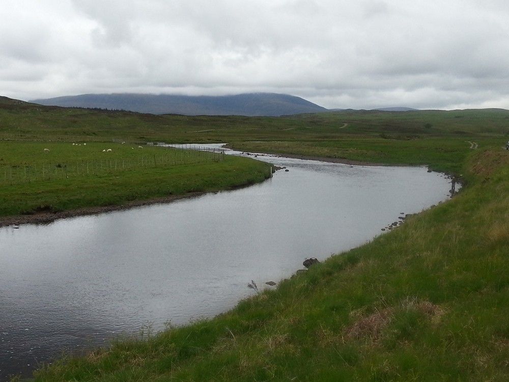
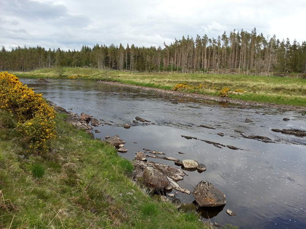
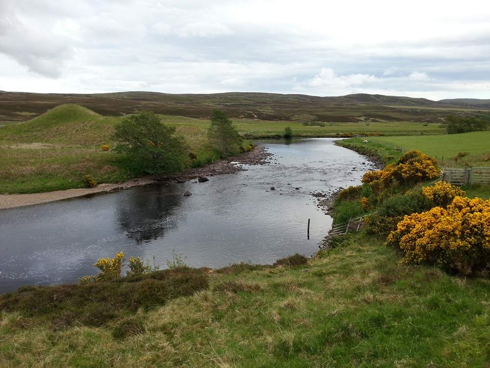
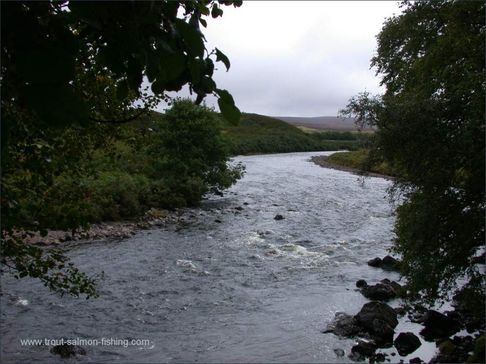
The River Naver flows the
eighteen miles from Loch Naver to enter the sea at Bettyhill.
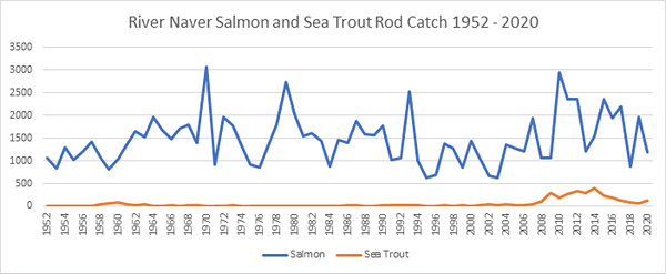
It is one of the most productive, and exclusive, of Scotland's
salmon rivers, rivalling the Helmsdale for numbers of fish. This
will mean little to most of us, though, as the Naver also rivals the
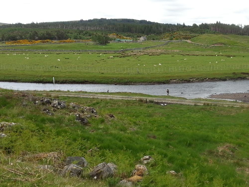
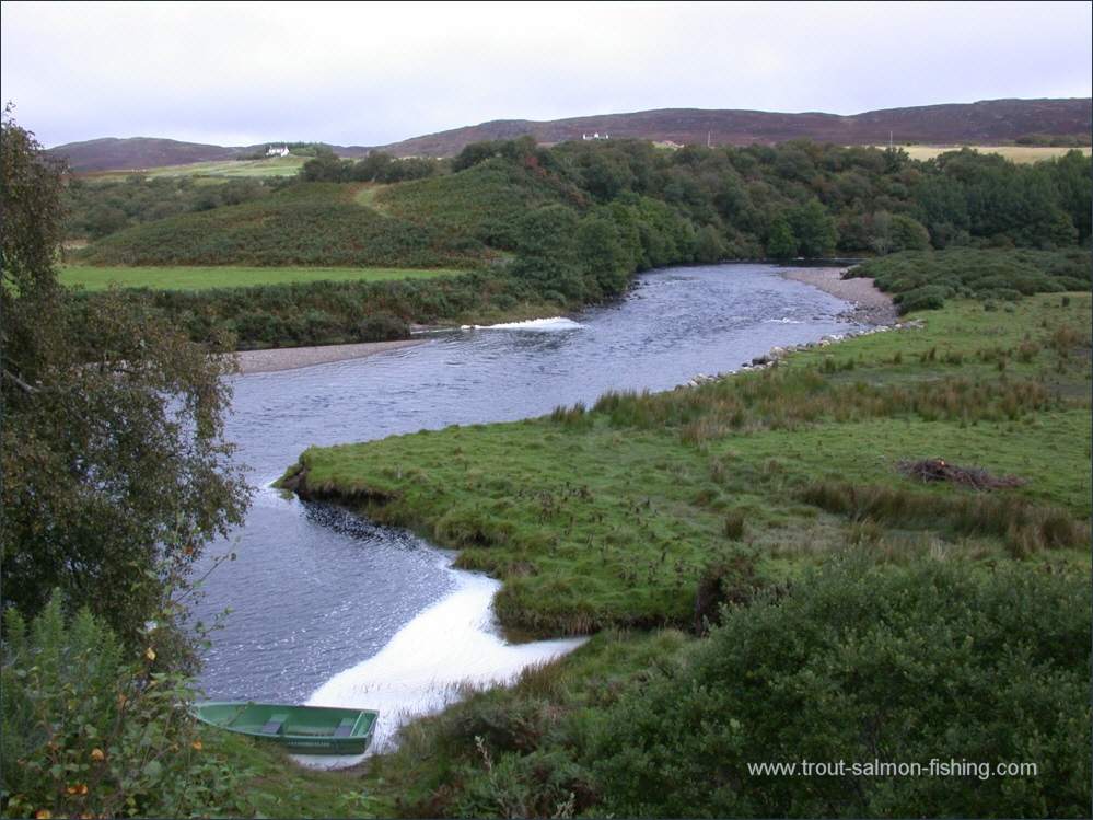
Helmsdale in its exclusivity. It is a very private river. The lower
beat, however, is reserved for the local angling club and a limited
number of daily permits are available to visitors.
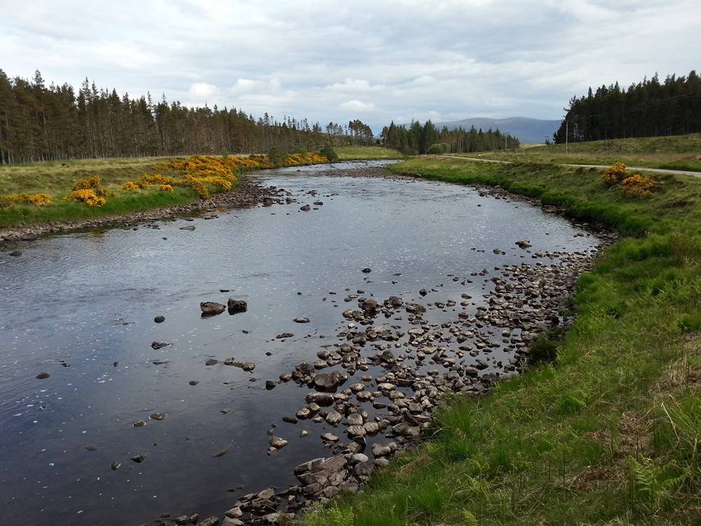
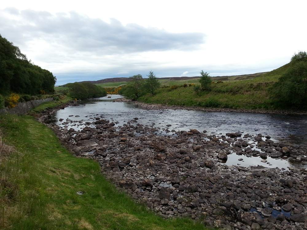
The fishing for both salmon and sea trout can
be excellent on the lower association beat of the River Naver.
Fishing can also be had on Loch Naver and on the Rivers Mudale
and Mallart. Spring salmon can be caught on the loch, mainly by
trolling, with the peak of the season in April. Enquiries should
be directed to the Altnaharra hotel, who also own the fishing on
the River Mudale, above Loch Naver.
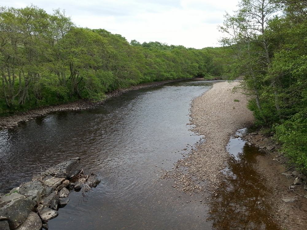
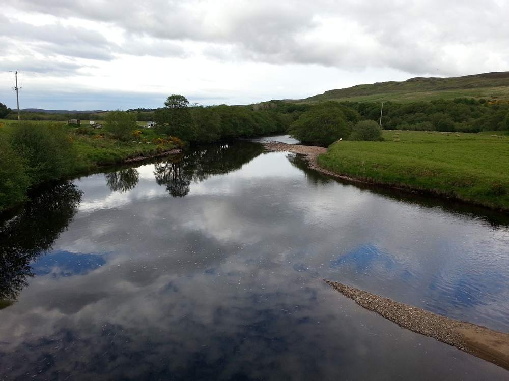
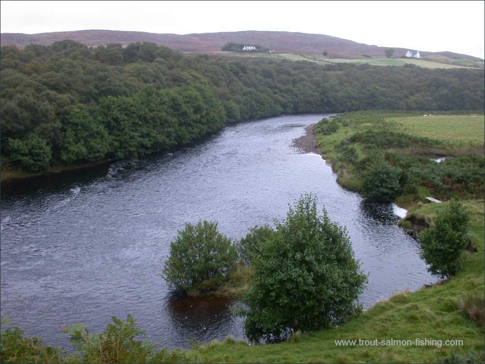
Angling Clubs and Associations
Permits to fish the Association water on the River
Naver can be purchased, on a first-come-first-served basis at The Store,
Bettyhill, at a cost of around £20.
 |