Salmon Fishing on the River Urr
Scotland
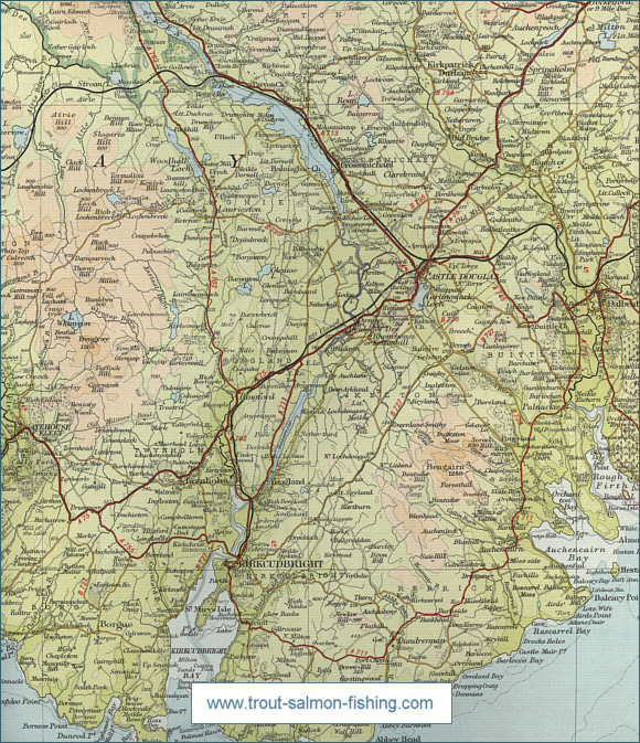
O. S. Map 84
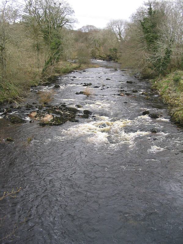
The Urr flows for thirty five miles from Loch Urr to
its outflow into the Solway Firth near Dalbeattie. The Urr has a
moorland character in its upper course but becomes rather sluggish,
flowing through relatively rich agricultural land in its lower
course.
The Urr has always been a spate stream but rises and
falls more quickly now owing to afforestation in its upper course
combined with agricultural drainage schemes. Unlike other Solway rivers,
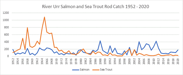
The Urr attracts fewer sea trout that its Solway neighbours Nith and
Annan but this sporting fish may be encountered from April onwards. Most
are in the 1 to 3 pound range. The river can fish well for salmon if you
catch it on the heels of a spate. Around 60 salmon are taken in a
season, with the chance of larger fish, perhaps one of the renowned
Solway Greybacks, from September to November. The
best of the fishing is from the Old Bridge of Urr down to the estuary.
For permits, contact M McCowan, Tackle Shop, 43 High Street, Dalbeattie.
Angling Clubs and Associations
The association has fishing on the River Urr and on Loch
Roan, available to visiting anglers. Permits from Tommy's Sports, King
Street, Castle Douglas.
 |