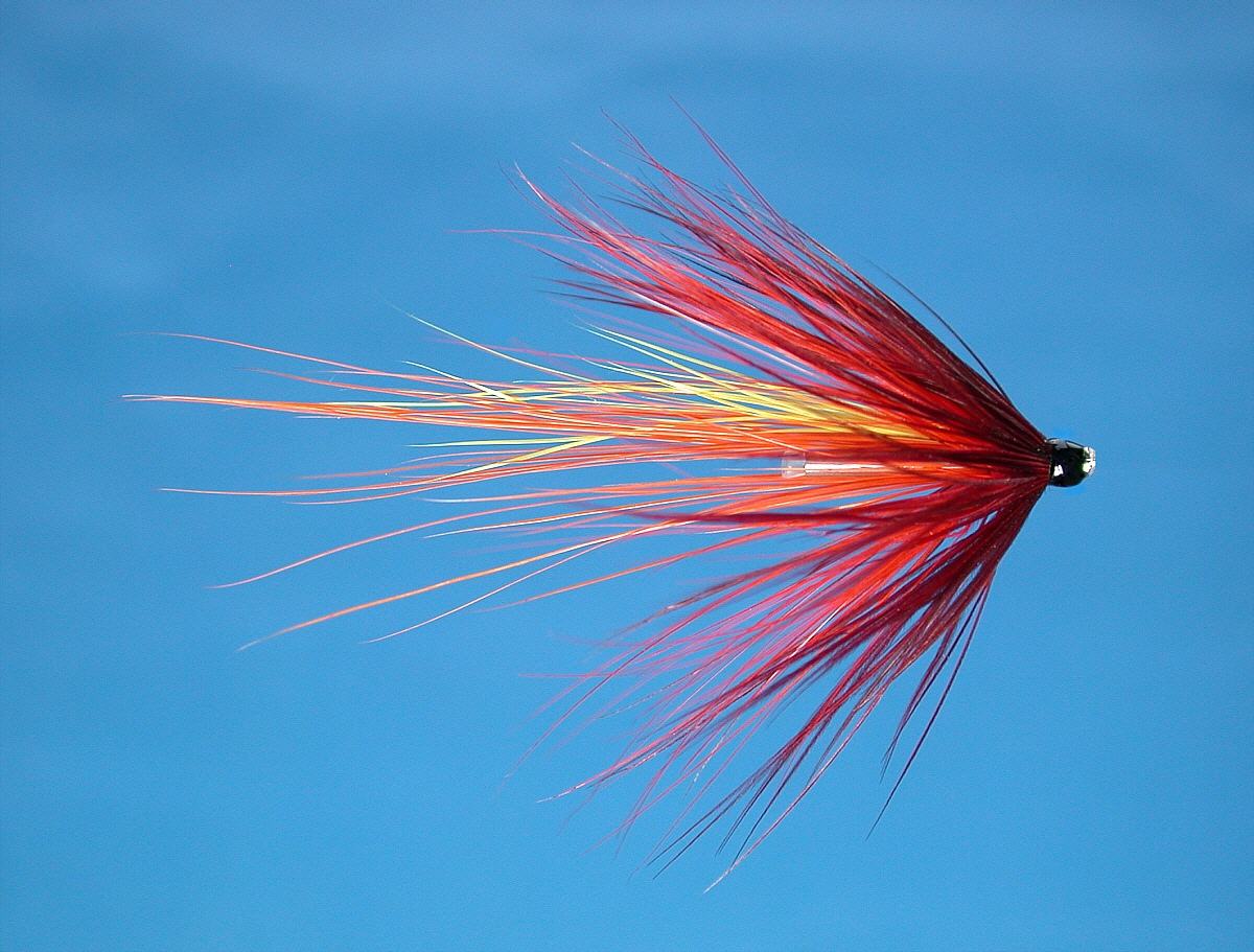
Salmon Fishing - River Teviot
Scotland
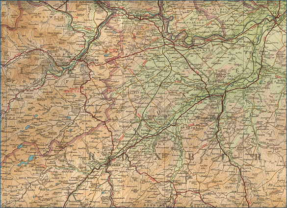
O. S. Map 79
The River Teviot flows through rich farmland
bordered by deciduous woodland, to join the River Tweed at Kelso.
The salmon fishing is at its best from June onwards and around 700
salmon can be taken in a season, with an average weight of around
ten pounds.
In addition to its salmon, the River Teviot has a run
of sea trout and holds good stocks of brown trout and grayling. Sea
Trout fishing it at its best in July and there is excellent brown trout
fishing from April to September and grayling fishing in the winter
months for as little as £5 a day. Jedforest Angling Association has some
good salmon, trout and grayling fishing on the river around Jedburgh and
offers permits to visiting anglers. Hawick Angling Club
has salmon, trout and grayling fishing on the Teviot and tributaries and
offers visitors' permits. Kelso Angling
Association offers trout permits to visiting anglers on the Teviot and
Tweed at Kelso.
Angling Clubs and Associations
Jedforest Angling Association
Kelso Angling Association
Hawick Angling Club
Secretary
Mr E J Stewart
24 Borthaugh Road
Hawick
TD9 0BZ |