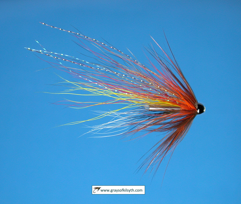
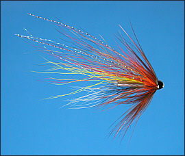
Salmon Fishing - Rivers Ettrick & Yarrow
Scotland
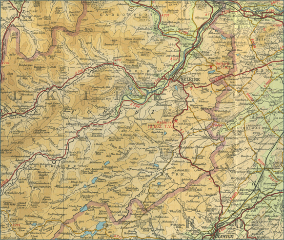
O. S. Map 73
The River Ettrick flows for 15 miles to join the
Tweed at Selkirk. The Ettrick is joined by the main tributary, the
River Yarrow, one and a half miles upstream of Selkirk. Both rivers
flows through magnificent wild moorland. The Tweed Foundation has
done a good deal of work on habitat improvement on the Ettrick and
Yarrow in recent years and the runs of salmon are improving, with
around 100 salmon caught in a season, most of them in October.
These are spate rivers and sport with salmon is
dependent on rain. Much of the fishing is owned and managed by Buccleuch
Estates and salmon fishing is available on a season permit or day permit
from Buccleuch Estates Ltd, The Estate Office, Bowhill, Selkirk. Selkirk
Angling Club has the trout fishing on the river and offers day permits
to visiting anglers.
Angling Clubs and Associations
Selkirk Angling Association
Mr D Mitchell
Meadow Cottage
Scotts Place
Selkirk TD7 4DR
Tel: +44 1750 20748
|