River Spey Salmon Fishing
|
 |
|
Salmon Fishing |
Trout Fishing |
Sea Trout Fishing |
Fishing
Articles |
Fishing
Maps |
Fly Tying |
Site Contents
Home
Salmon Fishing Scotland
Salmon - Where to Fish
Salmon Fishing Tackle
Salmon Fishing Tactics
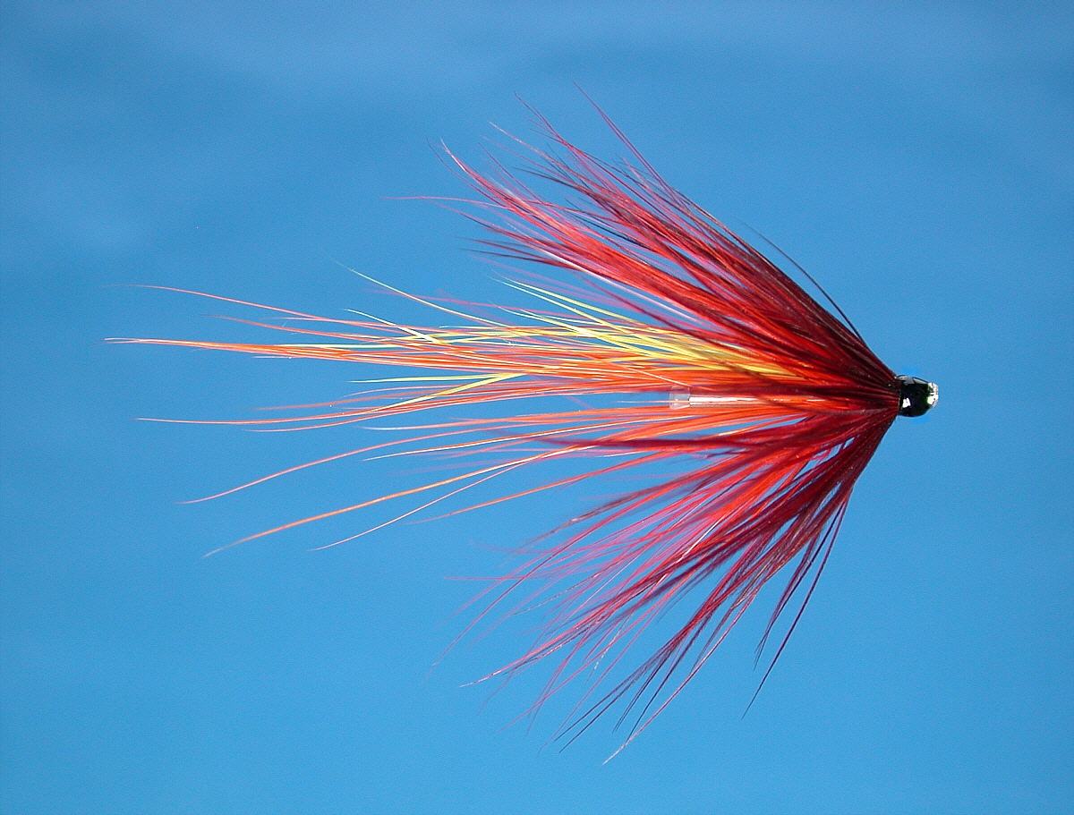
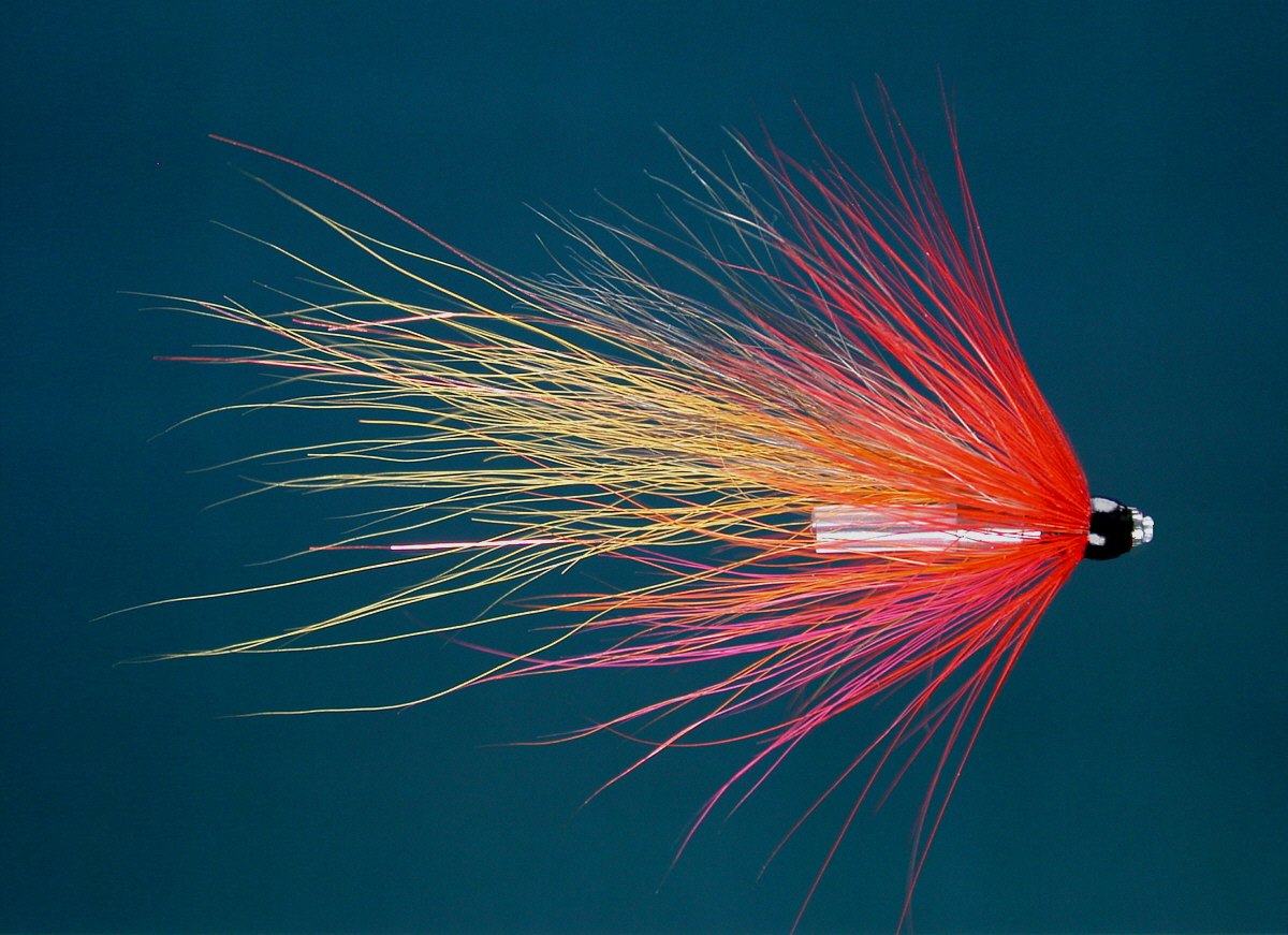
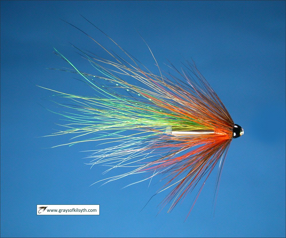
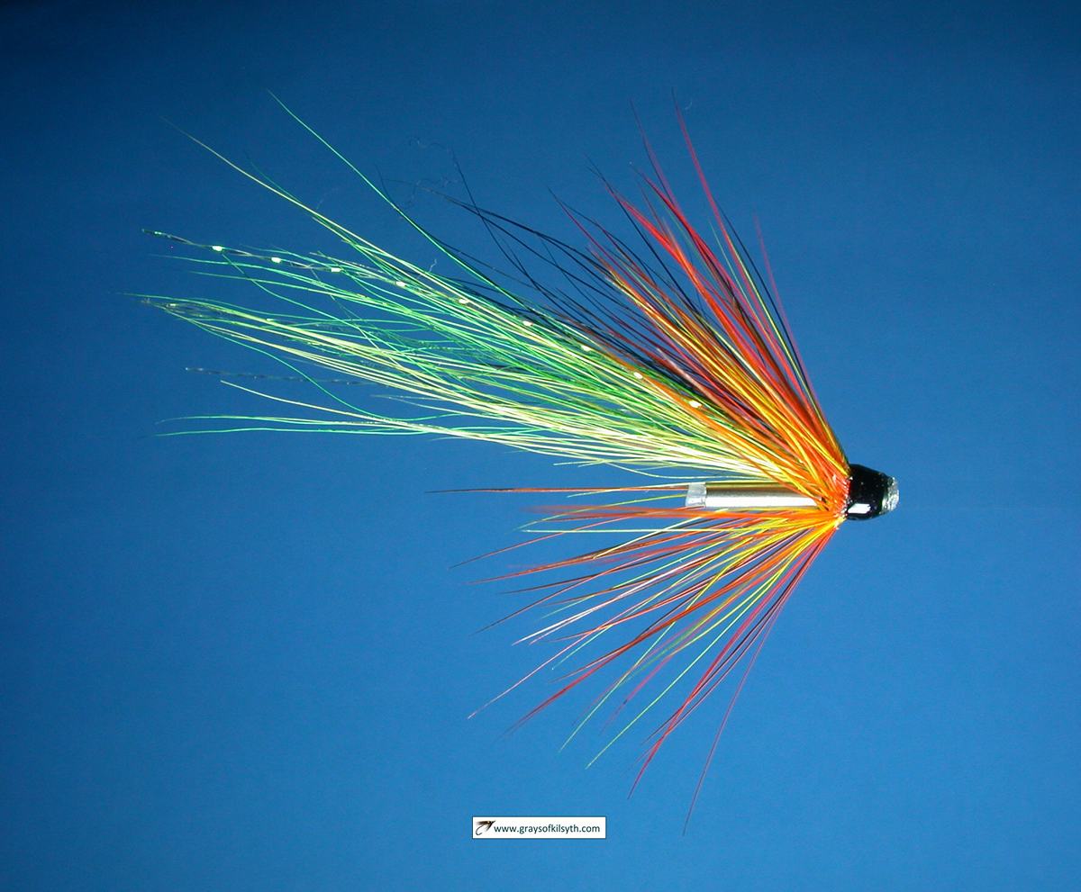
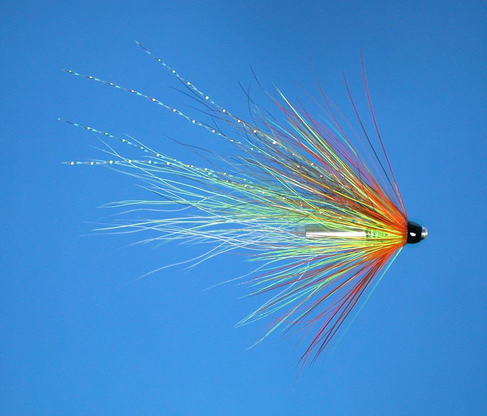
Salmon Flies
Trout Fishing Scotland
Trout- Where to Fish
Trout Fishing Tackle
Trout Fishing Tactics
Trout Flies
Sea Trout Fishing Scotland
Sea Trout - Where to Fish
Sea Trout Tackle
Sea Trout Tactics
Sea Trout Flies
Fishing Maps of Scotland
Fishing Articles
Fly Tying
Fishing Photographs
Book of Flies
Fishing Diary
Where to Stay
Fishing Clubs
Fishing Tackle Shops
Fly Fishing Knots
Fishing Weather
Fishing Books
Salmon Recipes
Flies Online
Links
Sitemap
|
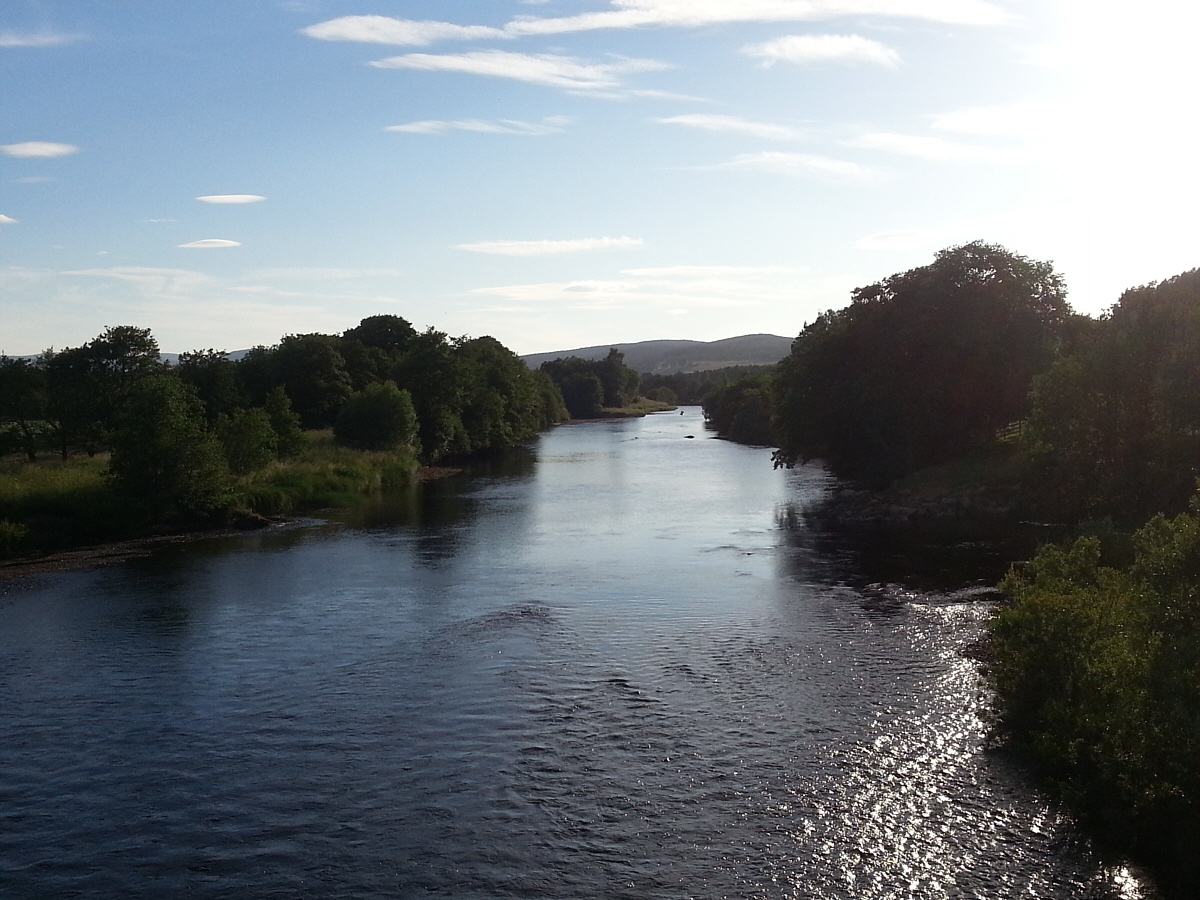
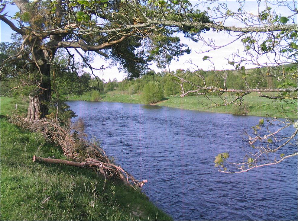
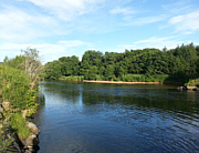
Salmon Fishing - River Spey
Scotland
O. S. Map 29, 36
The River Spey is probably the
most famous salmon river in the World. The Spey rises in the
Monadhliath mountains to the south of Loch Ness and flows 100 miles
northwards to enter the Moray Firth at Spey bay. In its lower
course, downstream of Grantown, it is a fast flowing river,
providing miles of perfect, and highly sought after, fly fishing
water.
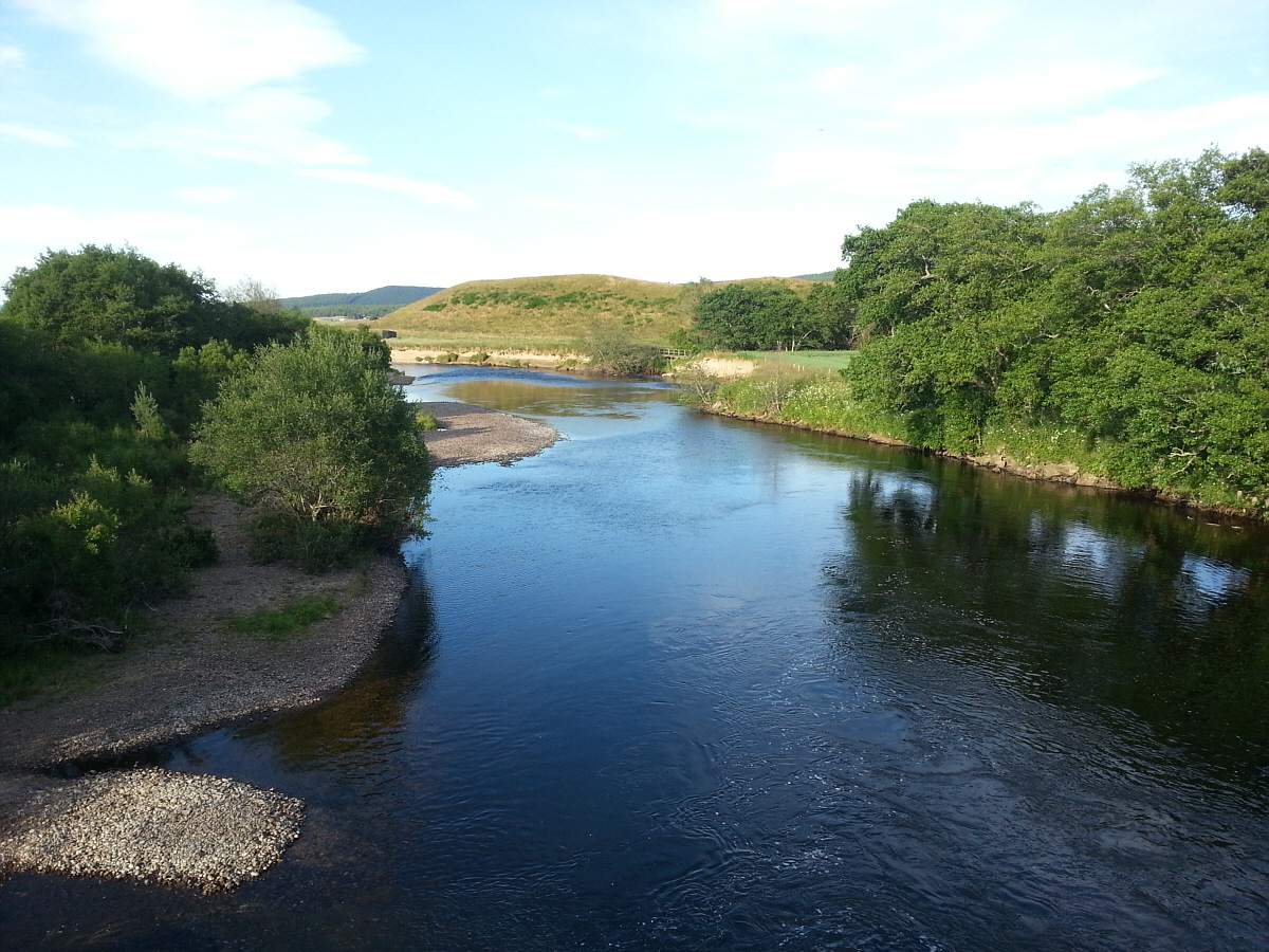
It is on the lower half of the Spey that we find the famous beats -
Castle Grant, Tulchan, Balindalloch, Knockando, Carron, Elchies,
Arndilly, Rothes, Delfur and many more, where the cream of Scottish
salmon fly fishing is to be had, by those fortunate enough to have
access to them, in the months of April, May and June.
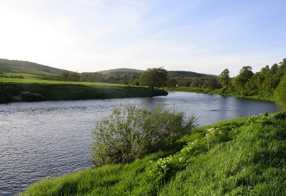
The annual salmon catch on the river in recent years has been just short
of 10,000 fish. The Spey is also one of the best sea trout rivers in the
country, although the sea trout catch had dipped in recent seasons to
around 2000. The best salmon fly fishing is to be found in the middle
and lower beats, where only those with the ability to wade deeply and
handle a fifteen foot rod effectively will make the most of their
opportunities. The best of the sea trout fishing is to be found in the
upper middle river, upstream of Grantown. The sea trout fishing can also
be excellent on many of the lower beats but, perhaps understandably, the
angler's sights are firmly fixed on the salmon, while the sea trout are
largely overlooked.
There is a very high demand for rods on the Spey and long term tenants
generally keep a tenacious grip on the best of the fishing. Fortunately,
there are several angling associations on the Spey, who control some
excellent beats, many of them available to the visiting angler. The best
known of these are the Strathspey Angling Improvement Association, based
in Grantown, the Abernethy Angling Association, centred on Boat of
Garten, and the Aberlour Angling Association.
|
|
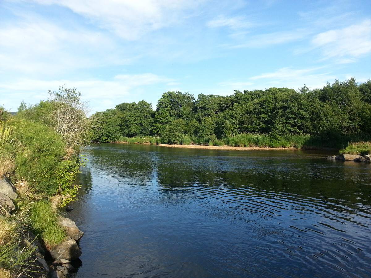
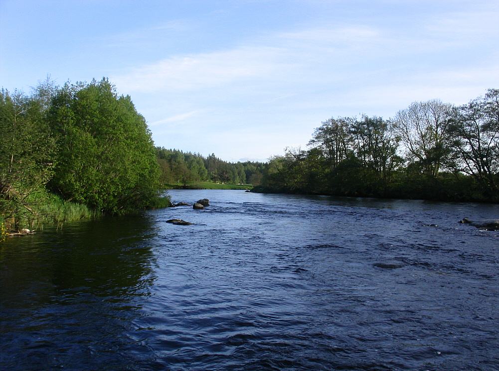
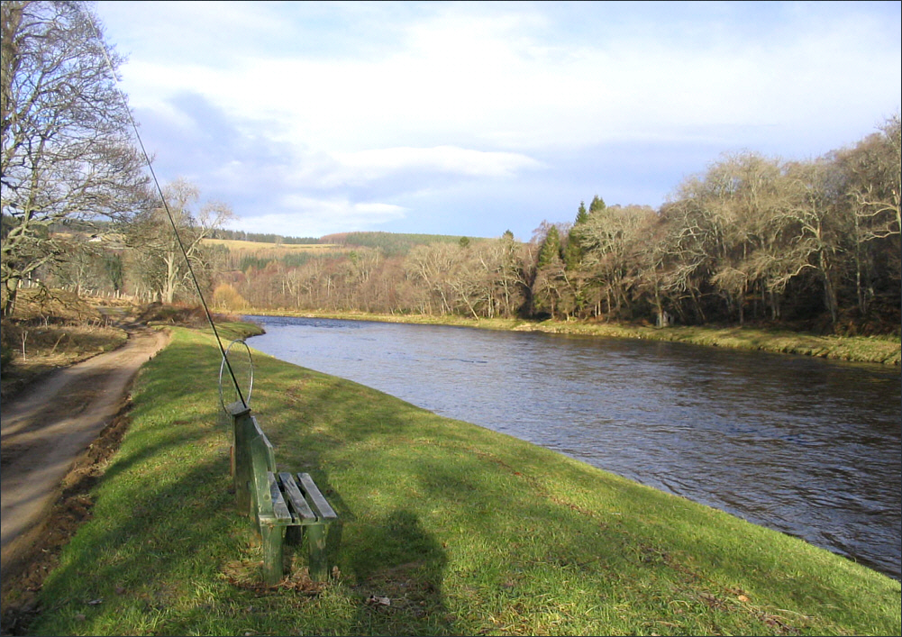
Sea Trout Fishing
View some of the sea trout and salmon
pools on the Abernethy Angling Association beats
Abernethy Angling
Association |
|
|
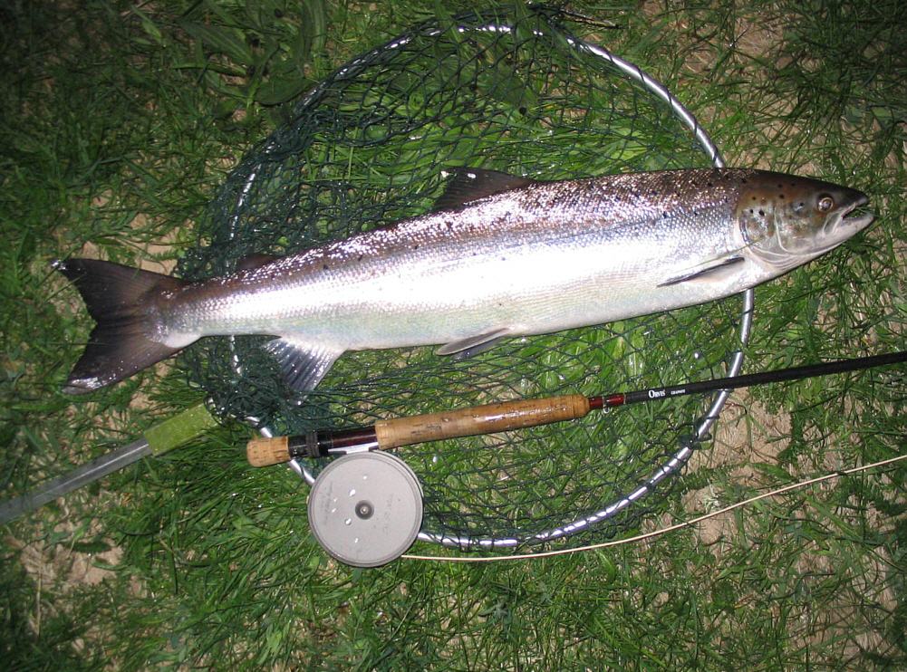
Spey Sea Trout Fishing
The Spey sea trout run normally begins in late May,
with stocks increasing throughout June and into July. The best night fishing is to be had on the
upper middle part of the river, from Grantown on Spey upstream to
Boat of Garten, where the two main Associations on that part of the
river, The Strathspey Angling Improvement Association and The
Abernethy Angling Association, offer between them thirteen miles of
prime sea trout fishing, with daily and weekly permits available to
all.
Grantown Angling Association
Sea trout are normally present on the Grantown
Association beats in worthwhile numbers from early June. The best of
the night fishing is normally from mid June to mid July, when we
might expect reasonably mild nights with the river having settled to
a good night fishing height, i.e. below six inches on the gauge at
the new bridge. Weekly permit holders may fish all beats throughout
the night (except on Sunday). For more information on the
Association permits and regulations, see
Strathspey Angling Improvement Association
.
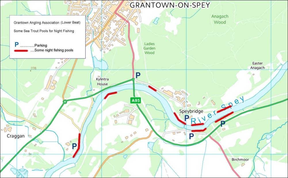
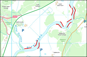
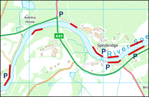
Below are two maps showing some suggested night fishing pools on
both the upper beat (from Dulnain Mouth to Inverallan) and the lower
beat (Upper Castle Grant) of the Strathspey
Angling Improvement Association water at Grantown on Spey. Sea trout
may be caught at night on other pools, of course, but these maps
provide a good starting point, showing many of the more productive
night fishing pools, most with fairly easy access and good car
parking no more than a mile from the fishing, in some cases only
yards from the river.
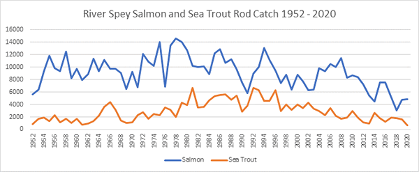
Grantown Salmon and Sea Trout Catches
|
Grantown
Angling Association Sea Trout Night Fishing Pools
click on a
map to enlarge
|
|
 |
 |
|
Upper Beat |
Lower Beat |
|
|
|
For map and photographs of all the Grantown
Association Pools see:
Grantown Angling Association Pool Photographs
|
Angling Clubs and Associations
Strathspey Angling Improvement Association
- Information from:
Mortimers of Speyside, 3 High Street, Grantown on Spey.
For articles on Spey sea trout
fishing, see
Spey Sea Trout and
Sea Trout Fishing
Abernethy Angling
Association - Information:
Joan Jeffers (Secretary)
Tel: 01479 821803
Email:
salmonpools@googlemail.com
Aberlour Angling Association
- Information from:
J A Munroe, 93-95
High Street, Aberlour
For information and photographs of the Spey at Aberlour, see Spey Salmon Fishing
Fochabers Angling Association
The association have double bank fishing on
approximately 1.5 miles of the river Spey. Four visitors permits are
available on a daily basis, 5AM to 5PM from 11th February to 10th
August.
The prices range between £20 and £65 per rod per day depending on time
of year. For further information and bookings contact :
Andy Milne, 7 Institution Rd,
Fochabers, Moray IV32 7DZ Tele : 01343 820259
or
Gordon Young on 01343 821059
Speymouth Angling Association
The association provide fishing for members and
visitors. Visitor permits available from £5 (sea trout) to £60 per day.
| SALMON |
|
| February - May |
£10 |
| June |
£30 |
| July - August |
£60 |
|
|
|
SEA TROUT |
|
|
15 Mar - 16 May |
£5 |
|
15 June
- 26 August |
£15 |
|
Contact the
secretary, Mrs Moira Brown, The Wedges, Tugnet, Spey Bay, IV32 7PJ
Telephone: 01343 820703
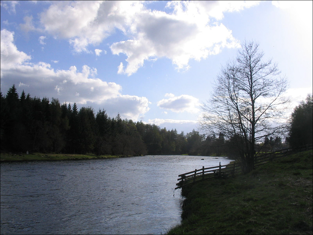
Brown Trout Fishing
We should not forget that the river
Spey has excellent brown trout fishing throughout its length and, while
salmon take precedence in the lower river, permits for trout fishing are
readily available in the upper reaches (See O.S. Map 35). The upper 13
miles of the Spey, between Loch Inch and Spey Dam, are managed by the
Badenoch Angling Association. For more information see:
Badenoch Angling Association
Scottish Angling Clubs and Associations
|
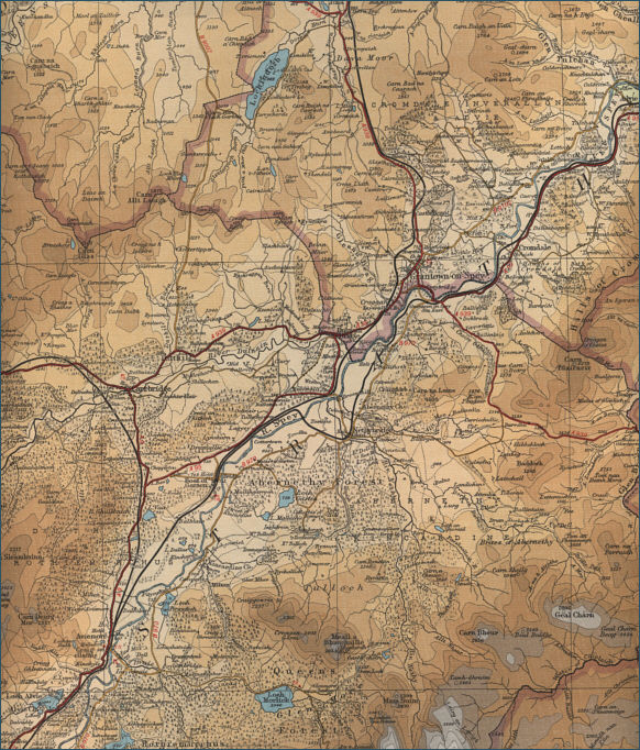
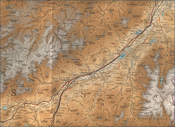
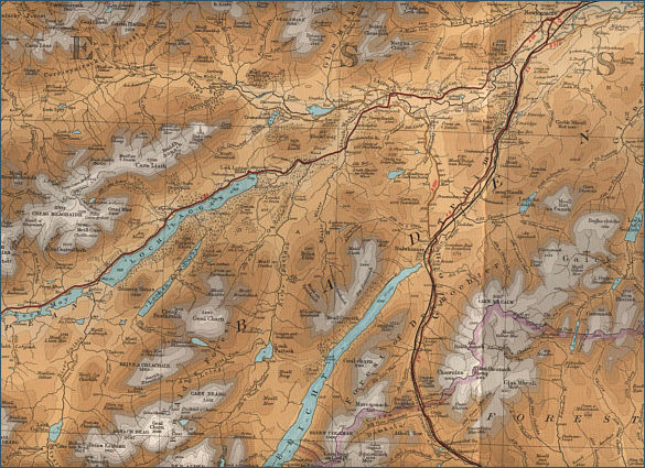
River Spey Fishing Maps
click on maps to select an area to enlarge
Lower River Spey
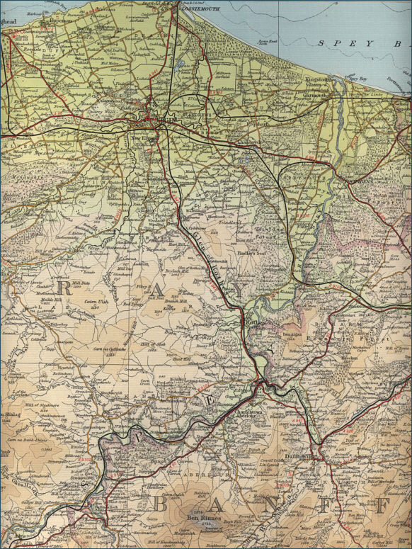
Middle River Spey
Upper River Spey
River Spey Source
 The maps on this website have been
reproduced with the permission of Collins Bartholomew. Please note that these maps may date back several decades.
Much of the human detail will have changed but the character of the rivers and
lochs, and the trout and salmon in them, will be much the same as they have
always been.
In addition to the information provided
here, I would recommend that anyone planning a fishing or
walking trip in Scotland should equip themselves with a compass
and the appropriate Ordnance Survey map. The most useful of the
O.S. maps for the fisherman is the Landranger series, scale
1:50,000. For each of the lochs and rivers listed here, I have given the
relevant O.S. Map number.
See
Ordnance
Survey Maps |
Interactive Map / Satellite View of the River Spey
|
● |
View current Google maps and aerial satellite
photographs of
the River Spey |
|
● |
Zoom in on maps and/or aerial views
of any part of the river (using +/-) |
|
● |
Move right or left, up or down by
clicking and dragging any point on the map |
|
● |
View detailed street maps and
aerial photographs of the Speyside area |
River Spey
|
| |
|
|
|
privacy |
|
[ River Ness ] [ River Nairn ] [ River Findhorn ] [ River Lossie ] [ River Spey ] [ River Deveron ] [ River Don ] [ River Dee ] [ North Esk ] [ South Esk ] [ River Tay ] [ River Tummel ] [ River Earn ] [ River Allan ] [ River Teith ] [ Loch Lomond ] [ River Awe ] [ River Orchy ] [ River Fyne ] [ River Eachaig ] [ River Add ] |
|
Trout and Salmon Fishing |
|