Site Contents
Home
Salmon Fishing Scotland
Salmon - Where to Fish
Salmon Fishing Tackle
Salmon Fishing Tactics
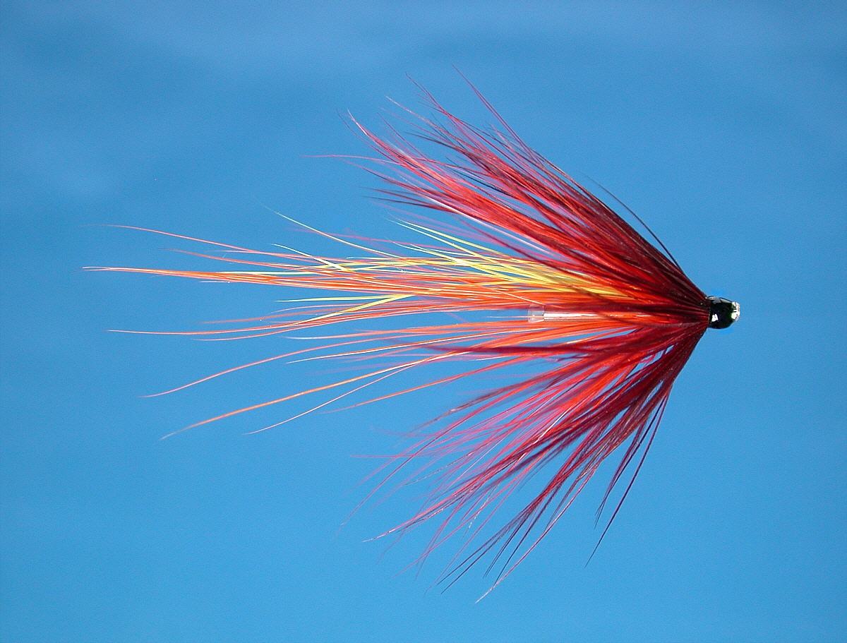
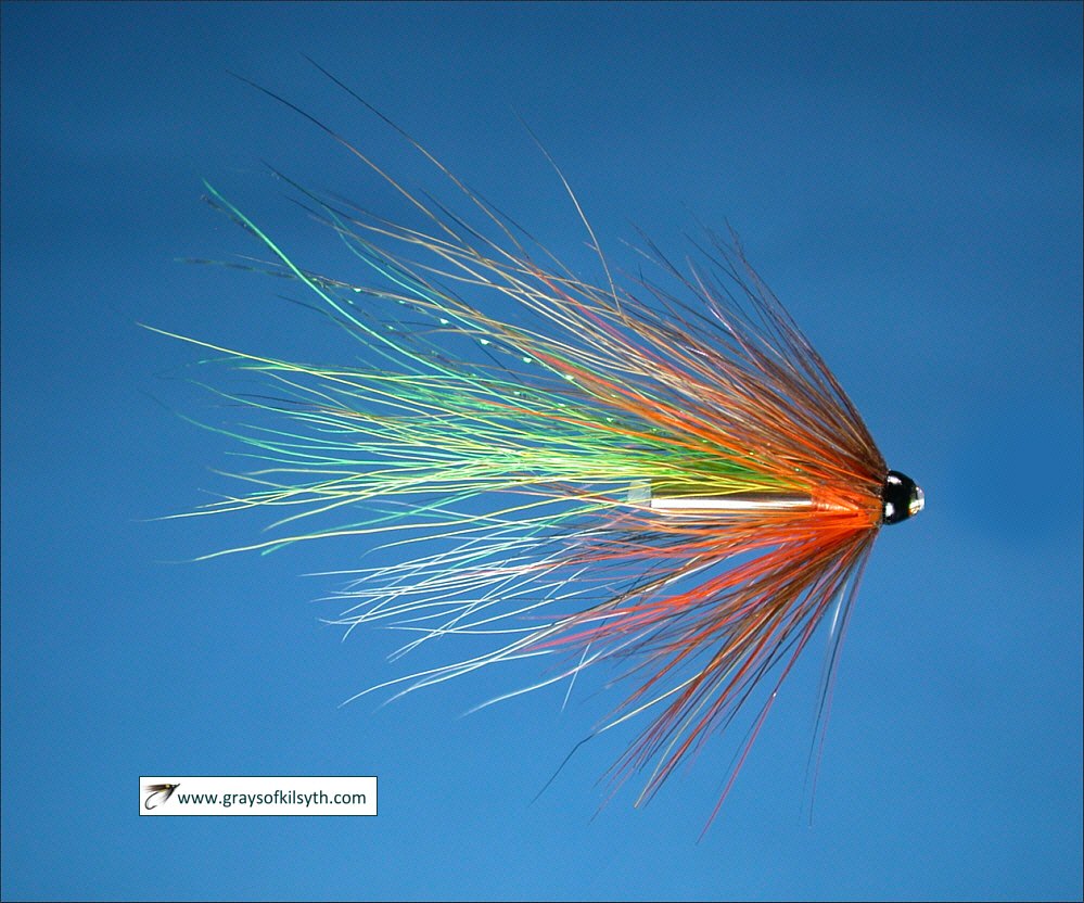
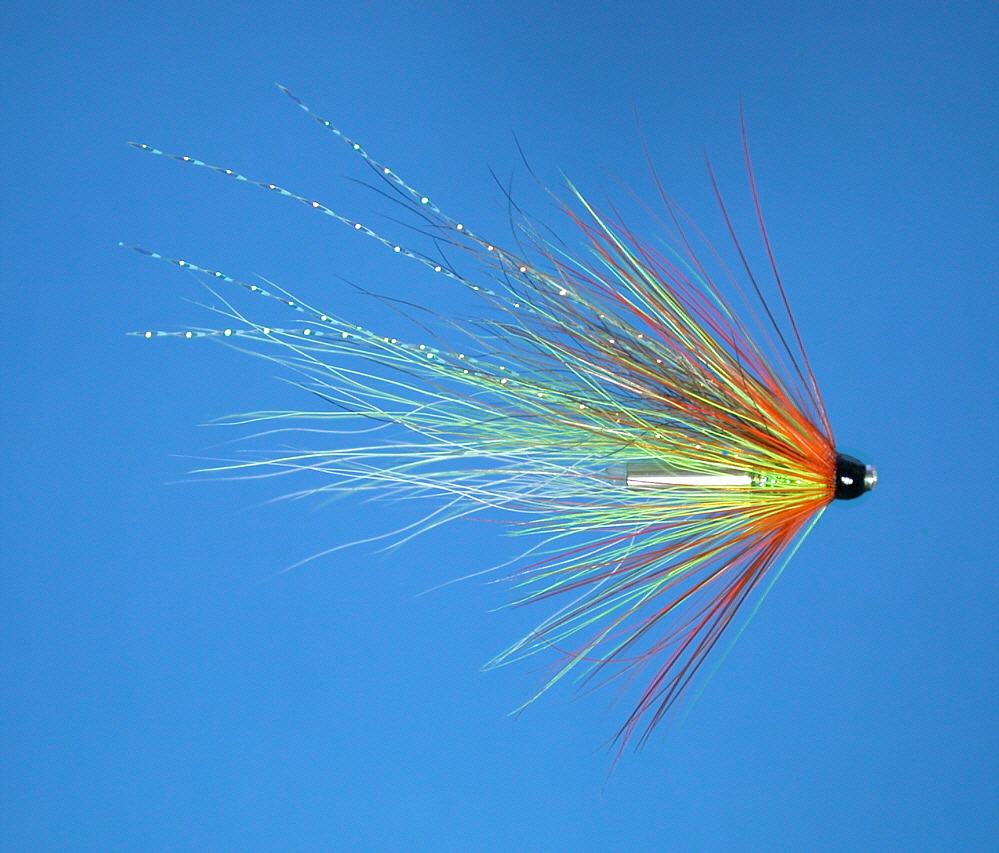
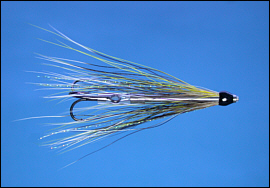
Salmon Flies
Trout Fishing Scotland
Trout- Where to Fish
Trout Fishing Tackle
Trout Fishing Tactics
Trout Flies
Sea Trout Fishing Scotland
Sea Trout - Where to Fish
Sea Trout Tackle
Sea Trout Tactics
Sea Trout Flies
Fishing Maps of Scotland
Fishing Articles
Fly Tying
Fishing Photographs
Book of Flies
Fishing Diary
Where to Stay
Fishing Clubs
Fishing Tackle Shops
Fly Fishing Knots
Fishing Weather
Fishing Books
Salmon Recipes
Flies Online
Links
Sitemap
|
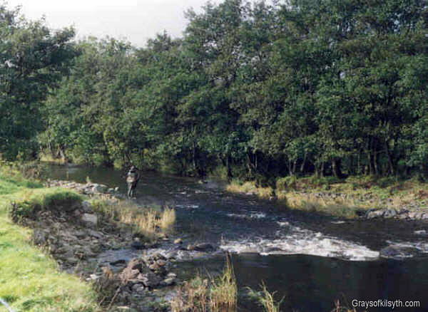
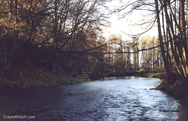
Salmon Fishing - Loch Lomond
Scotland
O. S. Map 56
The Loch Lomond
system can produce up to 1500 salmon and a similar number of sea
trout, from the loch itself, which at twenty one miles long and
covering an area of 17,500 acres, is Scotland's largest loch, along
with the major tributaries Fruin and Endrick, and the River Leven
which runs the short distance from Balloch to enter the Firth of
Clyde at Dumbarton.
Most of the fishing on
the system is managed by the Loch Lomond Angling Improvement
Association, who issue day, week and season permits.
The main tributary,
the River Endrick, rises in the Fintry hills then flows for twenty miles
westwards via Fintry, Balfron and Killearn and over the "Pots" of
Gartness before entering Loch Lomond near Balmaha. At one time one of
the premier sea trout fisheries in Scotland, the runs of migratory fish
have declined dramatically since the mid eighties. Although some of the
best beats are now unfortunately in private hands and inaccessible to
the average fisher, much of the river can be fished by members of the
Loch Lomond Angling Improvement Association, which is open to all
(subject to a maximum membership limit) for the price of a yearly
subscription. The Association is working hard to reverse the decline in
stocks and applications for membership, which includes the fishing on
Loch Lomond, the River Leven and the River Fruin, should be directed to
tackle shops in the Glasgow area.
|
|
|
Angling Clubs and Associations
Loch Lomond Angling Improvement Association
Season permits are available on the waters controlled
by the association - Loch Lomond, River Leven, River Endrick and River
Fruin. A full season permit, covering all waters, costs £185, while a
River Leven season permit is £116. Apply to:
| |
|
Loch Lomond
Angling Improvement Association |
| 4 Woodside Place |
|
Charing Cross, |
| Glasgow G3 7QF |
|
Tel: 0141 353500 |
|
Loch Lomond - Fishing Map
To
view a larger scale map of a particular section of the Loch
Lomond system, click on a selected area of the maps below.
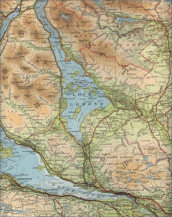
The maps on this website have been
reproduced with the permission of Collins Bartholomew. Please note that these maps may date back several decades.
Much of the human detail will have changed but the character of the rivers and
lochs, and the trout and salmon in them, will be much the same as they have
always been.
In addition to the information provided
here, I would recommend that anyone planning a fishing or
walking trip in Scotland should equip themselves with a compass
and the appropriate Ordnance Survey map. The most useful of the
O.S. maps for the fisherman is the Landranger series, scale
1:50,000. For each of the lochs and rivers listed here, I have given the
relevant O.S. Map number.
See
Ordnance
Survey Maps |