


Daily Visitor permits (i.e. not a resident within 25 miles of Aberdeen) for salmon and sea trout are currently available or a weekly (seven days excluding Sunday) "Roving" ticket covering:
-
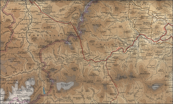
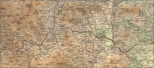
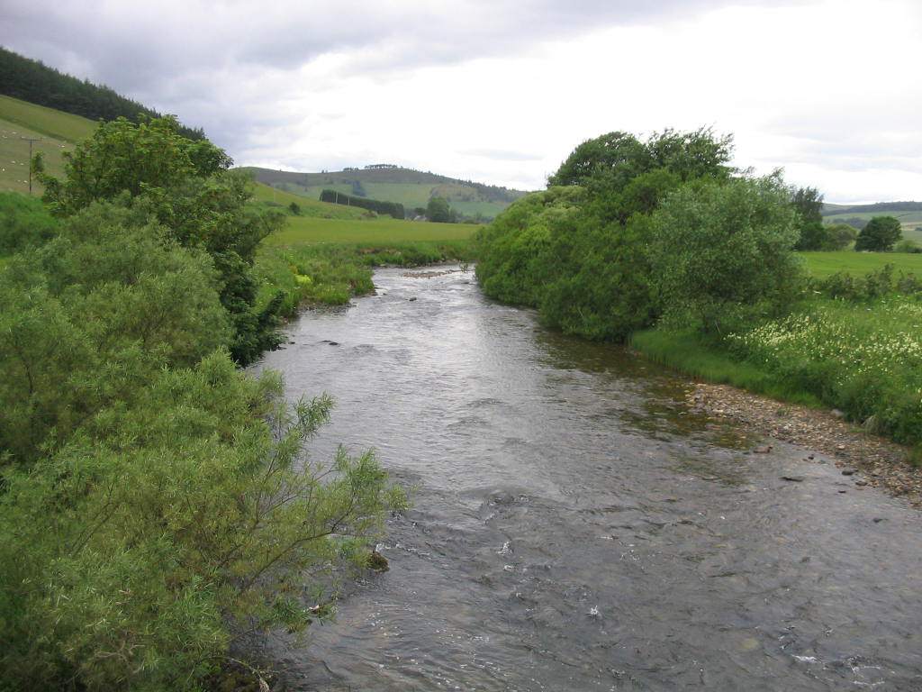
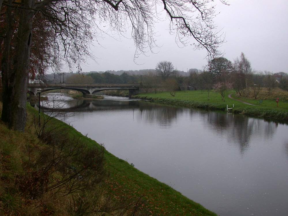
Upper and Lower Parkhill on the River Don
-
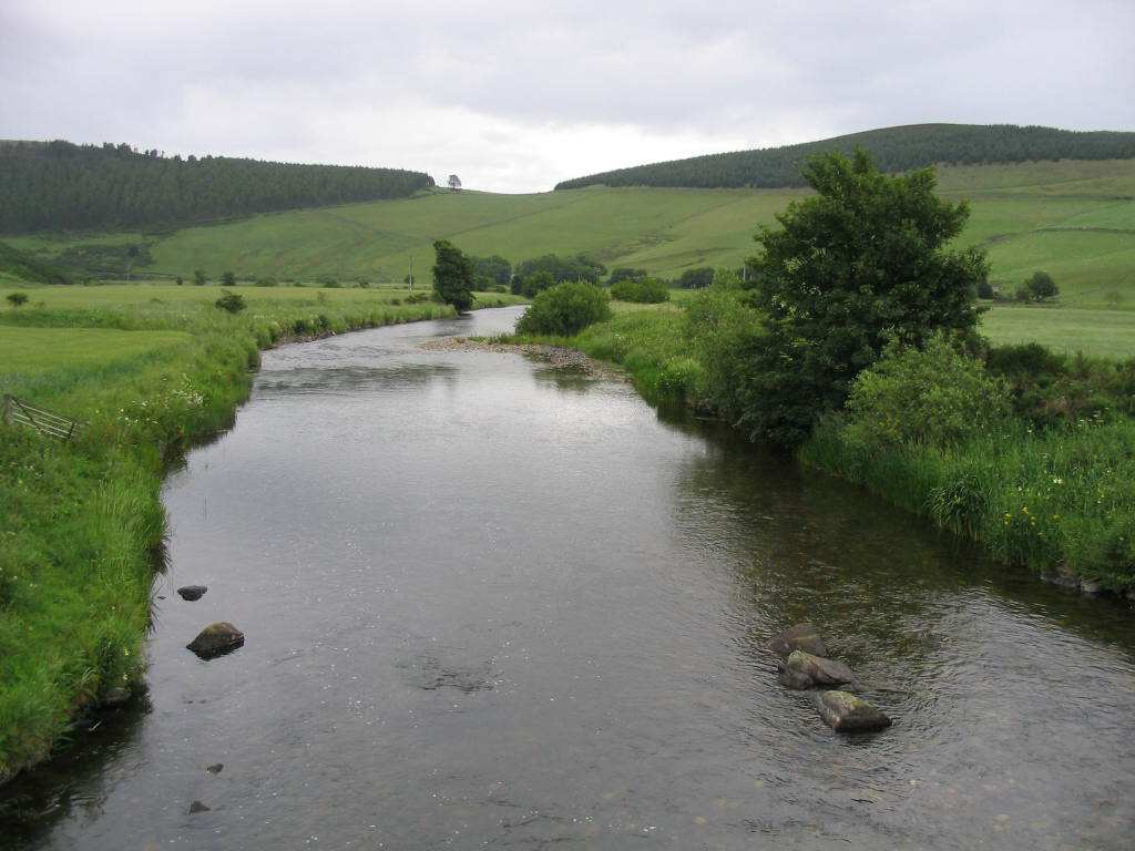
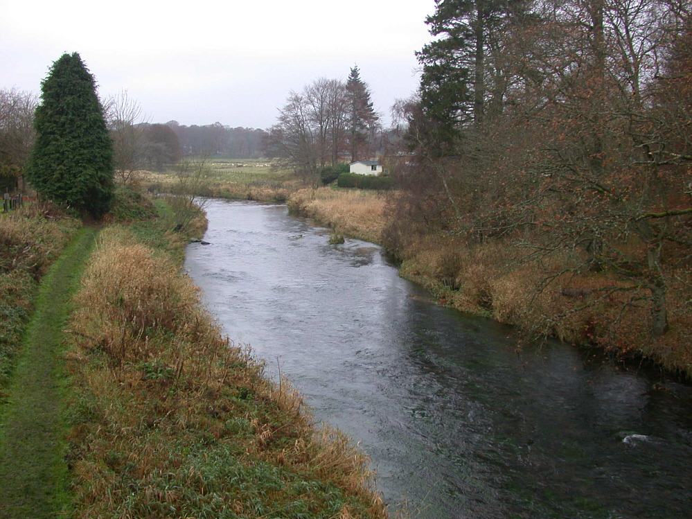
Upper and Lower Fintray on the River Don
-
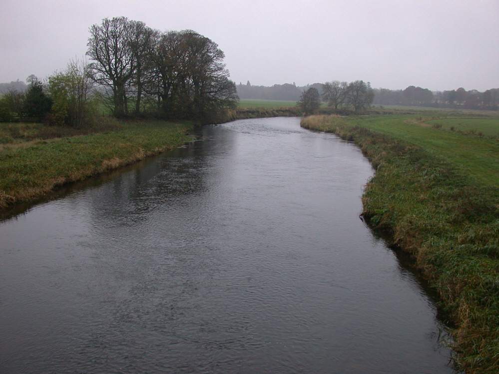
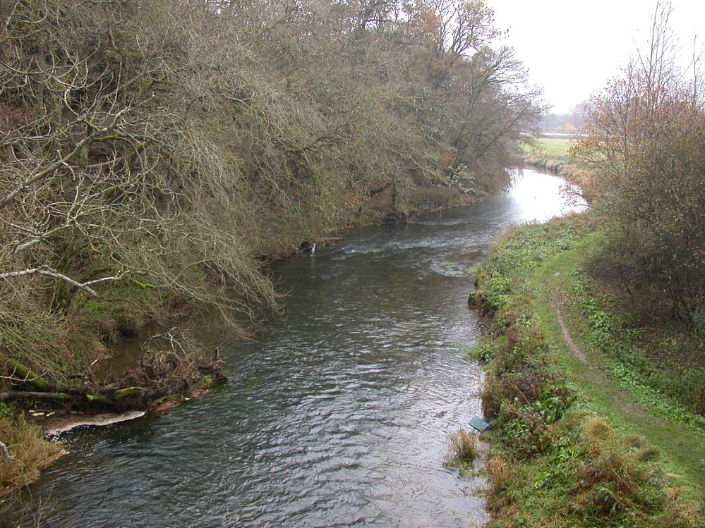
Kemnay on the River Don
-
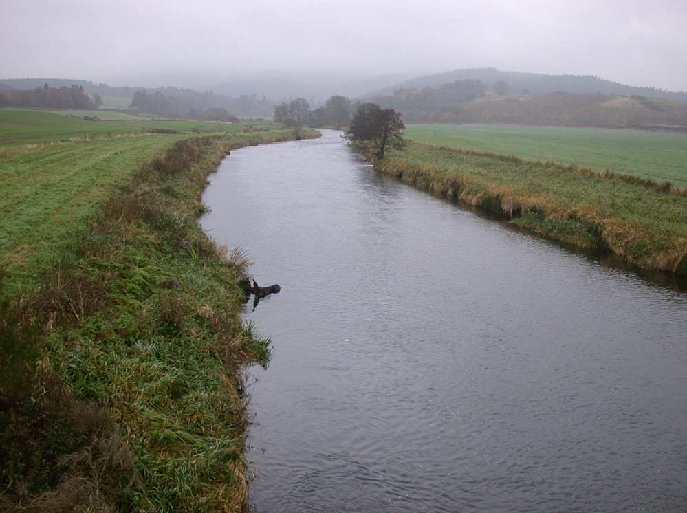
Upper Stoneywood on the River Don
-
Balbithan and Torryburn on the River Don
-
Belmuir and Methlick beats on the River Ythan
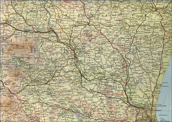
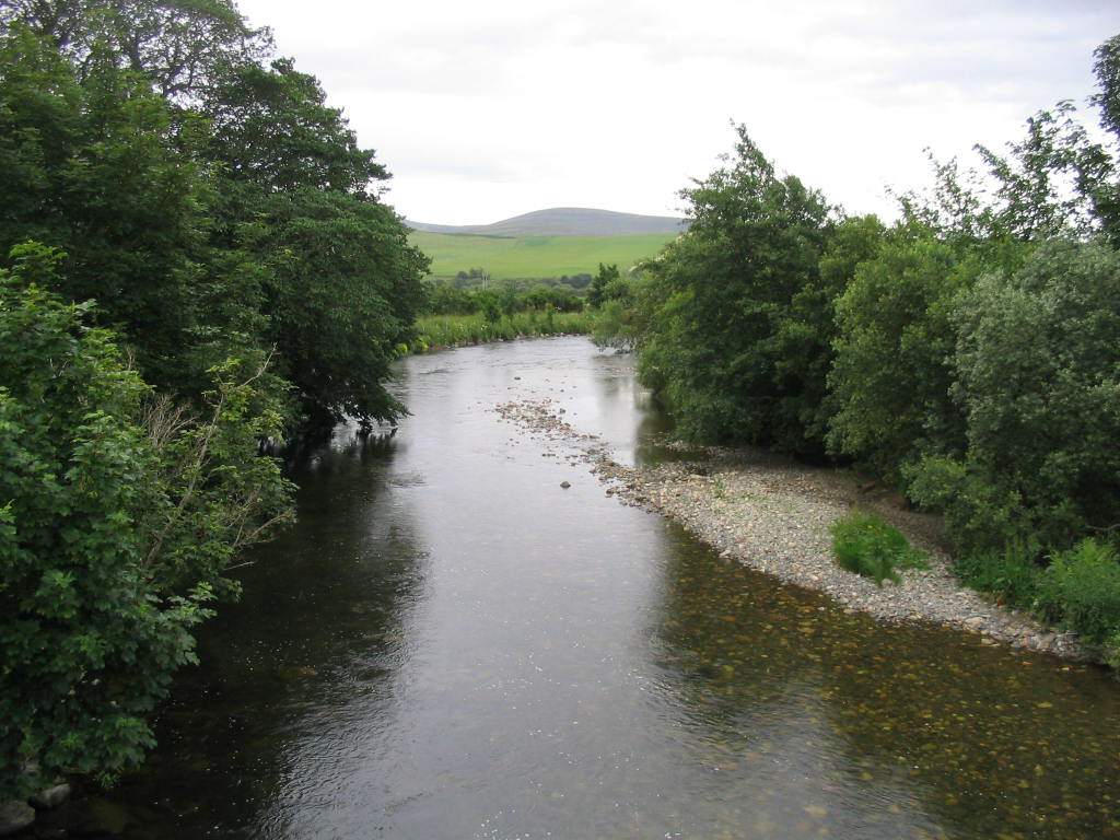
Alford Angling Association, established in 2018, manages the fishing for Salmon, Sea Trout and Brown Trout fishing on the Waterside and Haughton beats of the river Don. Membership and day permits are available at very affordable prices, allowing fishing on both beats, each just over a mile long, with good access and parking. Information and maps can be viewed on the association website. Further information is provided on the relevant Fishing the Fly Scotland website page at Alford Angling Association