Site Contents
Home
Salmon Fishing Scotland
Salmon - Where to Fish
Salmon Fishing Tackle
Salmon Fishing Tactics
Salmon Flies
Trout Fishing Scotland
Trout- Where to Fish
Trout Fishing Tackle
Trout Fishing Tactics
Trout Flies
Sea Trout Fishing Scotland
Sea Trout - Where to Fish
Sea Trout Tackle
Sea Trout Tactics
Sea Trout Flies
Fishing Maps of Scotland
Fishing Articles
Fly Tying
Fishing Photographs
Book of Flies
Fishing Diary
Where to Stay
Fishing Clubs
Fishing Tackle Shops
Fly Fishing Knots
Fishing Weather
Fishing Books
Salmon Recipes
Flies Online
Links
Sitemap
|
Salmon Fishing - River North Esk
Scotland
O. S. Map 44
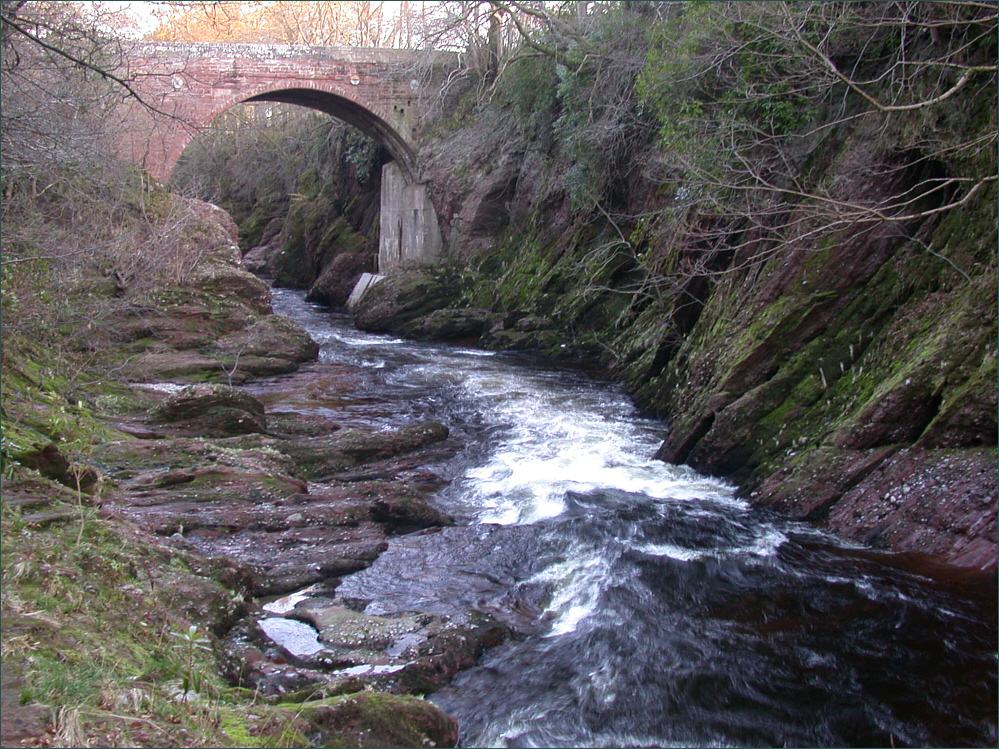
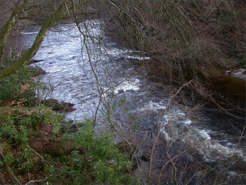
The North Esk
is a fine east coast salmon river. It has its source in two streams, the Lee and the Mark, which join at Invermark to form the North Esk. Shortly after, it is joined by the
Tarf, another important spawning tributary. The river runs south
east for a distance of 35 miles to enter the North Sea north of
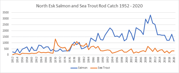
Montrose. The North Esk can produce about 1000 salmon and grilse in
a season.
Salmon are likely to be
up past the "Loups of the Burn", a series of falls about fifteen
miles below Loch Lee, and into the upper beats of Invermark and Millden,
by April. The lower river flows through a series of excellent long
holding pools, giving excellent fishing on beats such as Gannochy,
Arnhall, Dalladies, Stracathro, Inglismaldie, Canterlands and Gallery.
The North Esk is really a spate river, requiring rain to give
good sport in the summer months, when sea trout might also be caught
following a summer spate, perhaps on a small Mepps spoon fished on a
light spinning rod, or perhaps on a small traditional sea trout pattern,
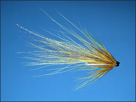
such as a Peter Ross or Black Pennell, fished on a single handed rod of
about ten feet, or maybe a small
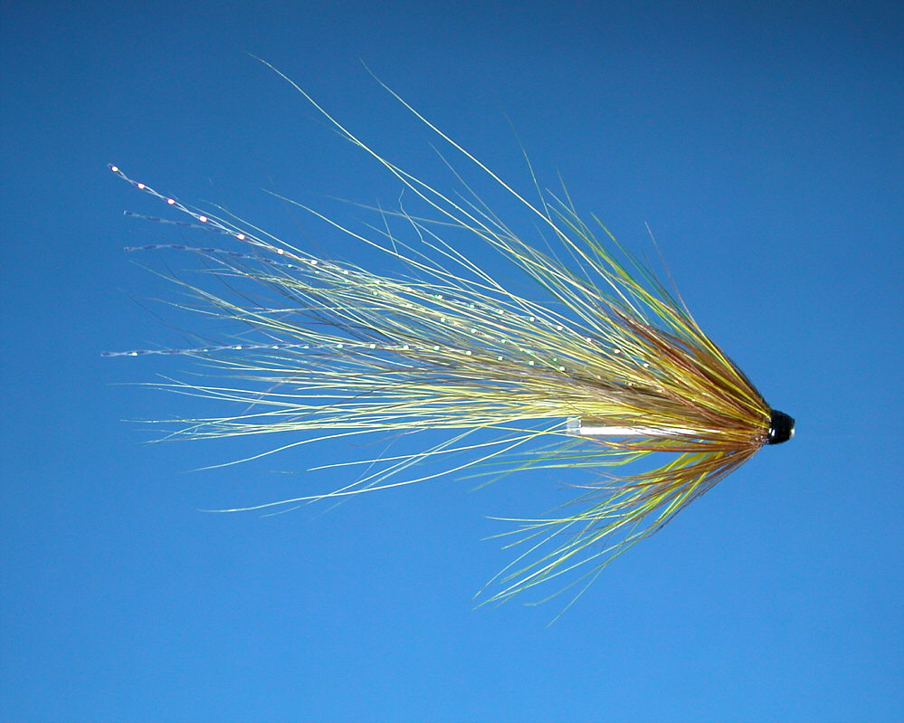
silver stoat tube fly.
Enquiries to Joseph
Johnston & Sons, 3 America Street, Montrose.
|
|
|
Angling Clubs and Associations
Montrose Angling
Club
Brechin Angling Club
The club has eight miles
of fishing on West Water, a North Esk tributary, available
to visiting anglers.
Contact
info@brechinanglingclub.com
Laurencekirk and
District Angling Association
The Association has fishing on the North Esk, Luther
Water and Bervie water, available to visiting anglers.
|
River North Esk Fishing Map
click on map to select an area to enlarge
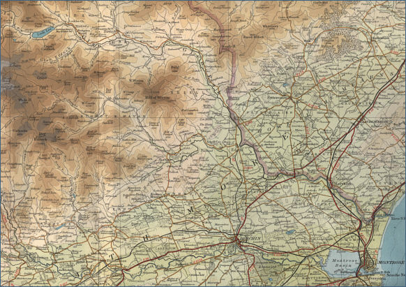
The maps on this website have been
reproduced with the permission of Collins Bartholomew. Please note that these maps may date back several decades.
Much of the human detail will have changed but the character of the rivers and
lochs, and the trout and salmon in them, will be much the same as they have
always been.
In addition to the information provided
here, I would recommend that anyone planning a fishing or
walking trip in Scotland should equip themselves with a compass
and the appropriate Ordnance Survey map. The most useful of the
O.S. maps for the fisherman is the Landranger series, scale
1:50,000. For each of the lochs and rivers listed here, I have given the
relevant O.S. Map number.
See
Ordnance
Survey Maps |