Salmon Fishing - River Eachaig
Scotland
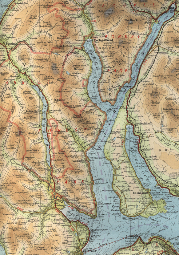
O. S. Map 56
The River Eachaig
runs the four and a half miles from Loch Eck to the Holy Loch in the
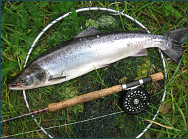
Firth of Clyde. It is principally a sea trout fishing river of some note,
producing around 300 sea trout, some of them of impressive size, and
anglers catch a further 50 or so salmon in a season.
The fishing on the
River Eachaig runs
from June to September. Loch Eck, some six miles long and very narrow
and deep, also produces salmon and sea trout, with many fish taken on trolled
lures such as the Rapala and Kynoch Killer. The salmon and sea trout fishing is now owned by Salar Properties, with most of the fishing sold off on a timeshare
basis, thus making it, for the most part, inaccessible to visiting
anglers. Enquiries about the fishing on the loch should be directed to
the Coylet Hotel, Loch Eck, Dunoon.
|