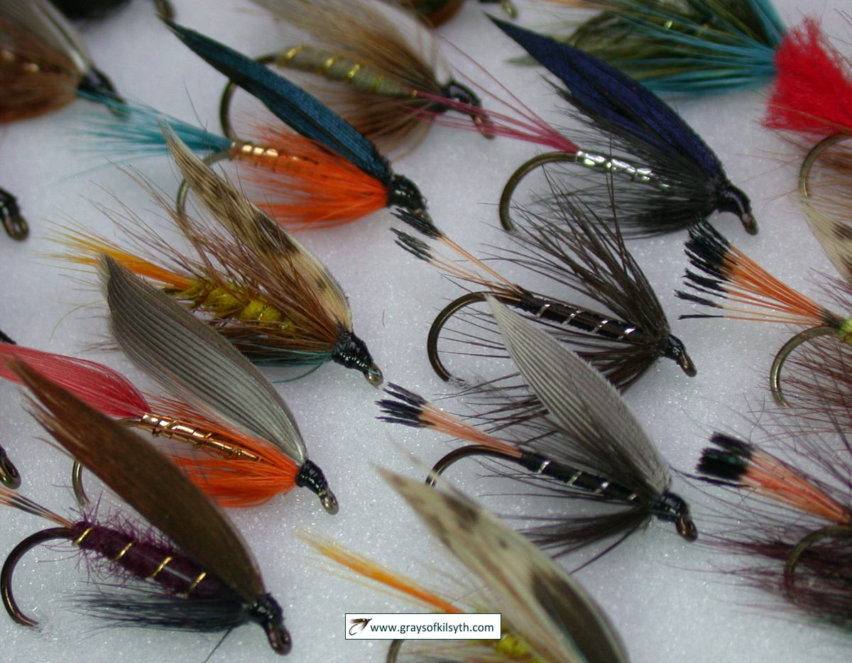
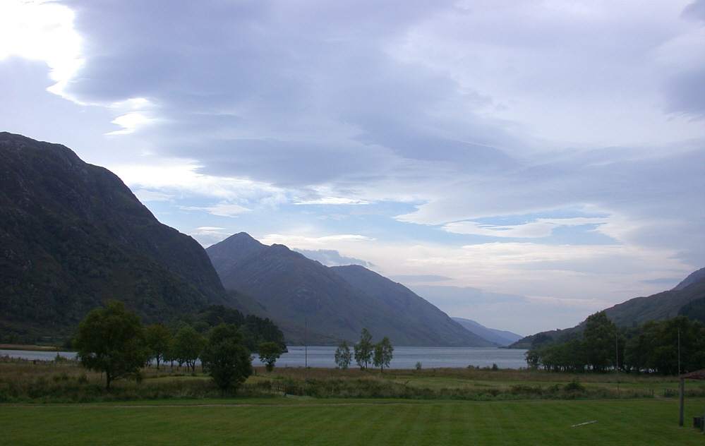
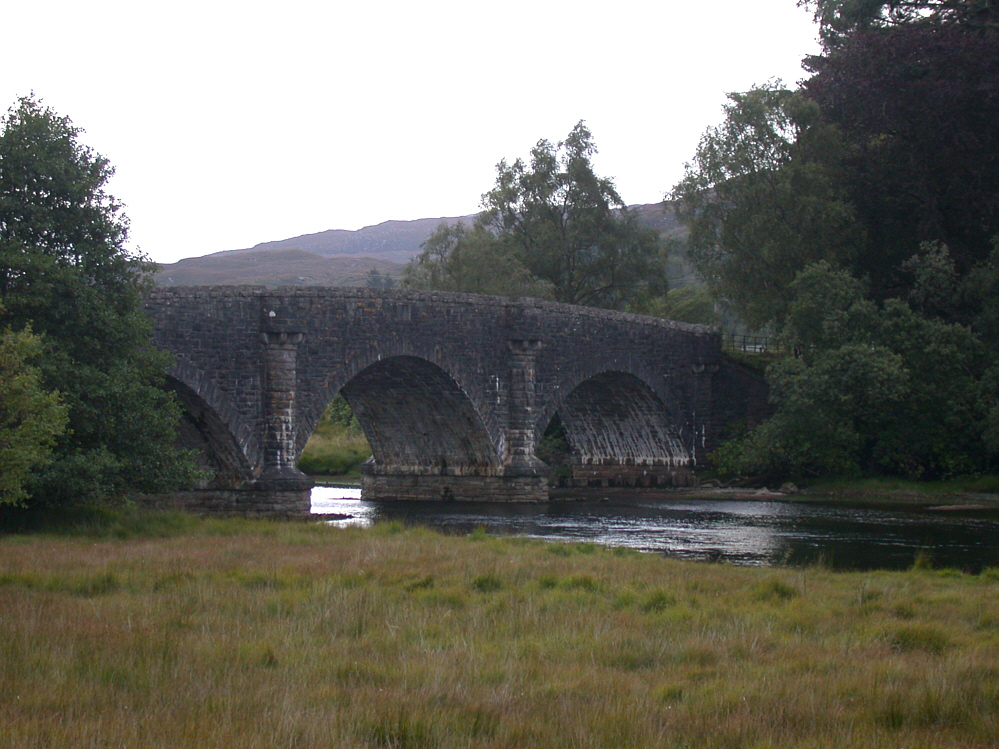
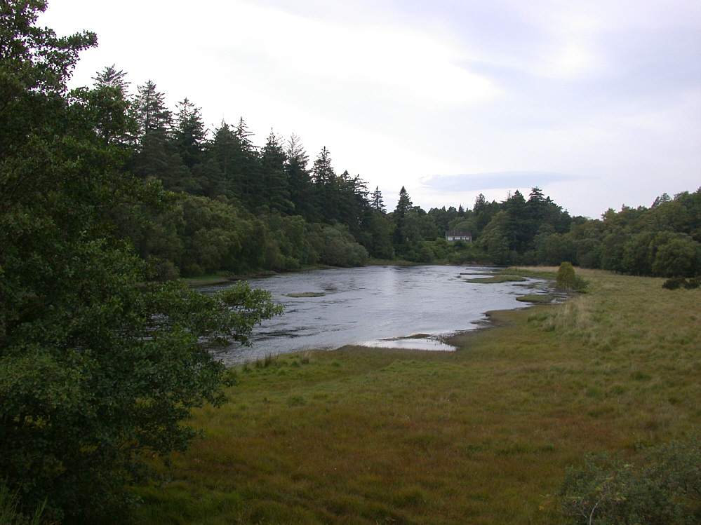
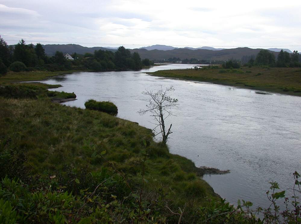
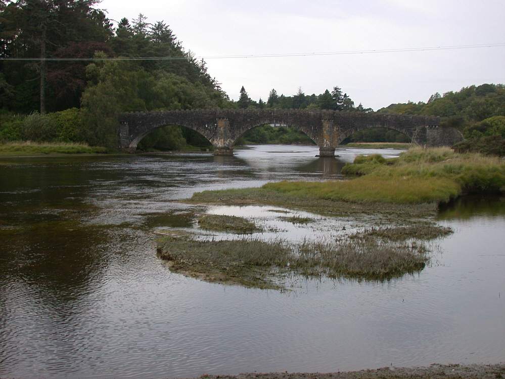
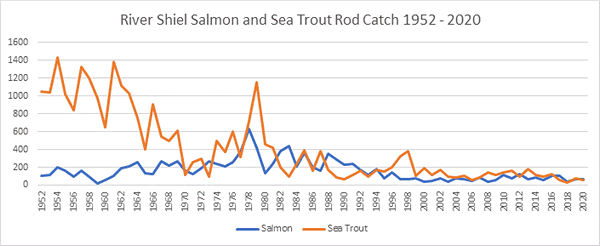
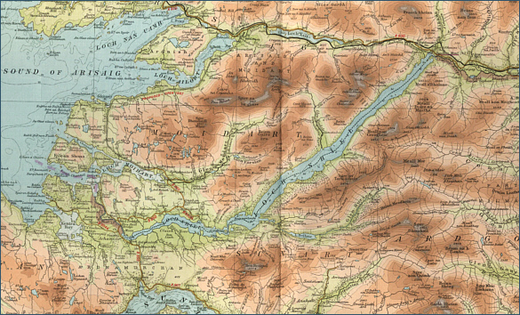
|
| |
Sea Trout Fishing in Scotland Loch Shiel and River Shiel
|
O.S. Map 40
Loch Shiel, at seventeen miles long, is one of Scotland’s longest
lochs, linked to the sea by the short River Sheil. Both loch and
river were once famed for their sea trout but the loch is rarely
fished now for sea trout, owing to the dramatic collapse in sea
trout stocks which has been seen in north west Scotland over the
past twenty years. The loch might still produce good brown trout,
averaging half a pound in weight.
|
|
|
|
Interactive Map of the River Shiel and Loch
Shiel
View Google maps and aerial satellite
photographs of the River Shiel and Loch Shiel
You may also search for information about the
area using the map search function
Javascript should be enabled to view
this map map provided by Google
Maps API |
| |
| Change views, e.g. map or
satellite photograph, using the buttons at
the top. |
| Zoom in or out on
map or satellite view using slider on left. |
| Move to
right or left, up or down using the arrows or by clicking and dragging
any point on the map. |
| Search for
information by typing a word or phrase (e.g. "hotel accommodation") into the search box. |
| Return to original
map location by clicking the centre of the circle top left. |
|
|
| |
Salmon and Sea Trout Fishing on Loch Shiel and the River Shiel
The Shiel system is another casualty of the dramatic
collapse in west highland sea trout stocks and might now be regarded
more as a brown trout fishery, with a chance of taking an occasional
salmon or sea trout. |
| |
|
Loch Shiel |
| |
 |
|
 |
|
Loch Shiel at Glenfinnan |
|
Loch Shiel at Acharacle |
| |
|
|
|
River Shiel |
| |
|
|
 |
|
 |
|
Shiel Bridge |
|
River Shiel at Shiel Bridge |
| |
|
|
 |
|
 |
|
River Shiel |
|
River Shiel near Acharacle |
| |
|
|
|
|
Loch Shiel - Fishing Map
|
To view a larger scale map of a particular
part of the river or loch, click on a selected area of the map below. |
 |
click on map to select an area to
enlarge
|
|
|
|
The maps on this website have been
reproduced with the permission of Collins Bartholomew.
Please note that these maps may date back several decades.
Much of the human detail will have changed but the character of the rivers and
lochs, and the trout and salmon in them, will be much the same as they have
always been.
In addition to the information provided
here, I would recommend that anyone planning a fishing or
walking trip in Scotland should equip themselves with a compass
and the appropriate Ordnance Survey map. The most useful of the
O.S. maps for the fisherman is the Landranger series, scale
1:50,000. For each of the lochs and rivers listed here, I have given the
relevant O.S. Map number. See Ordnance
Survey Maps |
|
|
|