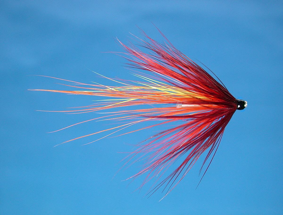
Salmon and Sea Trout Fishing on the Kyle of Sutherland
Scotland
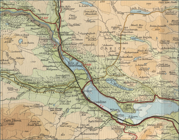
O. S. Map 21
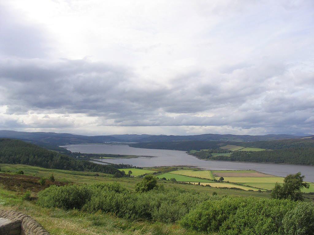
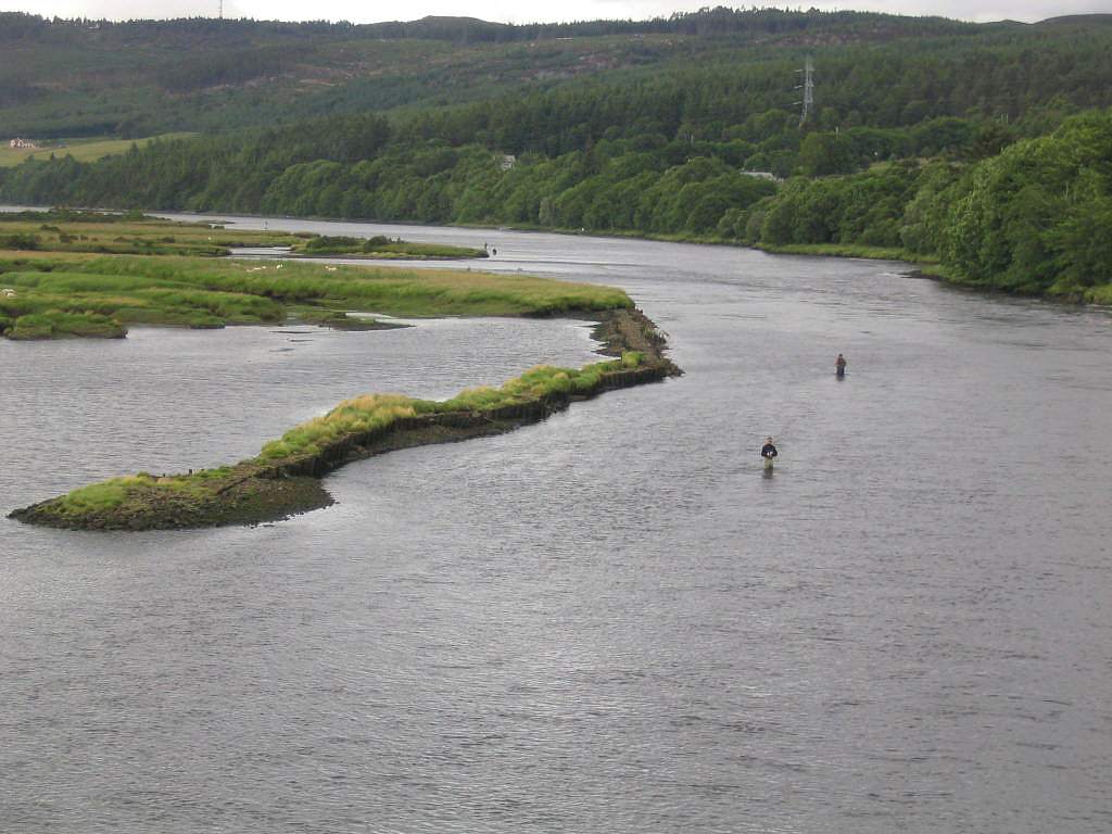
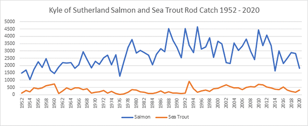
The Kyle of Sutherland is a large tidal area extending some twenty
five miles from the confluence of the rivers Oykel and Cassley
eastwards to the Dornoch Firth. Both salmon and sea trout are
caught, with the Kyle of Sutherland Angling Club taking in the
region of 400 salmon and 200 sea trout per season.
A dry
summer, with low river levels on the rivers Carron, Shin, Oykel and
Cassley, can hold salmon and sea trout in the Kyle and give some good
fishing, both from boat and from the shore. The angling club produces a
useful booklet to help visiting anglers get the best out of the fishing.
A day permit from the angling club to fish from the shore will cost £8 a
day for sea trout fishing and £33 for salmon.
Angling Clubs and Associations
Kyle of Sutherland
Angling Association
Permits for the Association water on the Kyle are
available from the Bonar Bridge Post Office.
2013 permits prices are:
Adult Salmon/Sea Trout day
ticket - £33.00
Accompanied Junior - £15
Salmon/Sea Trout weekly ticket - £150
Day ticket for Sea Trout (Below the Bridge) - £8.00
Weekly ticket for Sea Trout (below the bridge) - £35.00
Local season ticket for Sea Trout (below the bridge) - £30
Adult season ticket (Local with one-off joining fee of £10)
- £100
Junior Season ticket (under 16) - £50
Senior Citizen season ticket - £80
Associate Season ticket - £165
Loch fishing Bank - £5
Boat, for two rods - £20 per day
Contact:
secretary@kosaa.co.uk |