Site Contents
Home
Salmon Fishing Scotland
Salmon - Where to Fish
Salmon Fishing Tackle
Salmon Fishing Tactics
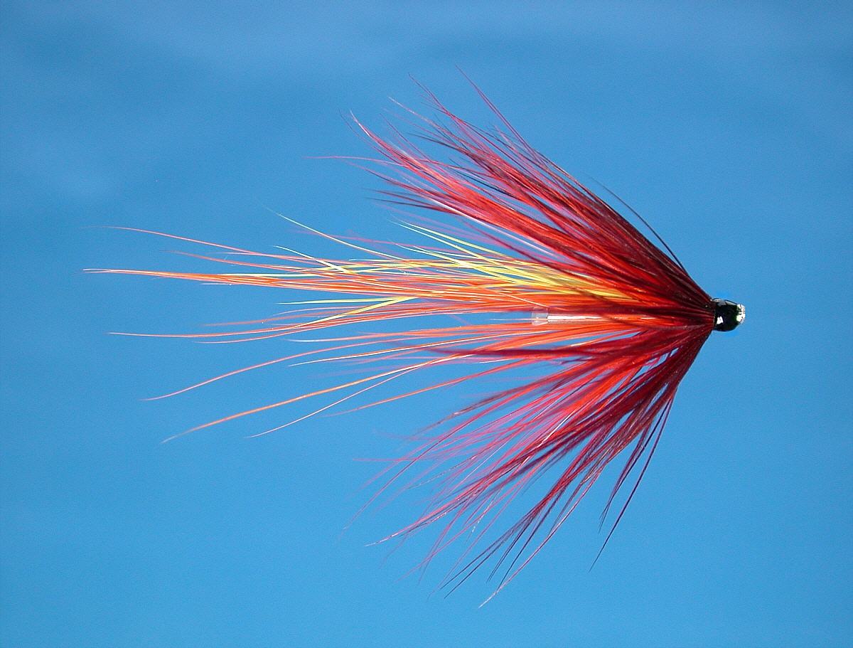
Salmon Flies
Trout Fishing Scotland
Trout- Where to Fish
Trout Fishing Tackle
Trout Fishing Tactics
Trout Flies
Sea Trout Fishing Scotland
Sea Trout - Where to Fish
Sea Trout Tackle
Sea Trout Tactics
Sea Trout Flies
Fishing Maps of Scotland
Fishing Articles
Fly Tying
Fishing Photographs
Book of Flies
Fishing Diary
Where to Stay
Fishing Clubs
Fishing Tackle Shops
Fly Fishing Knots
Fishing Weather
Fishing Books
Salmon Recipes
Flies Online
Links
Sitemap
|
Sea Trout and Salmon Fishing on the Border Esk
Scotland
O. S. Map 79, 85
The Border Esk is formed by
the meeting of the Black Esk and White Esk near Bailiehill. On its
way to Langholm, the Border Esk is joined by tributaries Meggat
Water, Ewes and Wauchope and, just downstream of Langholm, by the Tarras Water. Just below Canonbie, the Esk is joined by its major
tributary, the Liddle, a good salmon and sea trout river in its own
right. At Scotsdyke, the Esk, hitherto a Scottish river, enters
England and flows on past Longtown to meet the Solway Firth near
Gretna. Renowned as one of the best sea trout rivers in the country,
the Border Esk also has a good run of salmon through the latter part
of the season.
The
Border Esk is one of the best sea trout rivers in southern Scotland.
Much of the available fishing on the Border Esk and Liddle (known
historically as the Esk and Liddle Fisheries), extending to some twenty miles, is owned by
the Buccleuch Estates and now leased by the Border Esk and Liddel
Fishing Club, with
much of the fishing available to both local and visiting anglers on a
day, weekly or season permit.
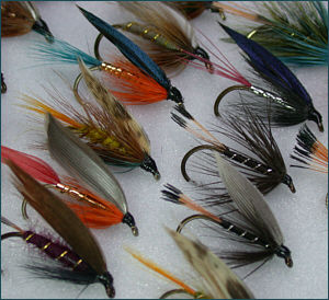
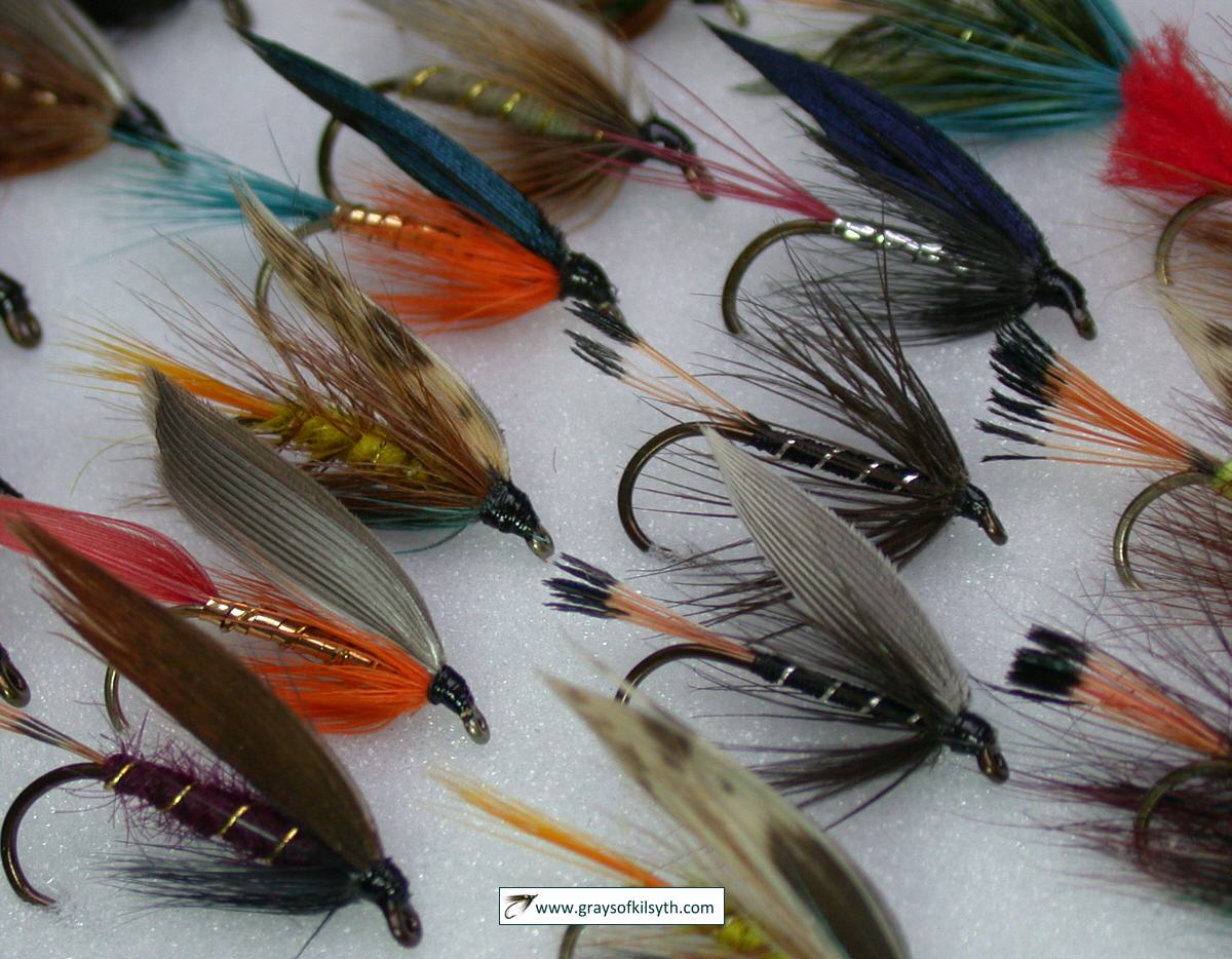
flies by
Grays of Kilsyth |
|
|
Border Esk and Liddel Angling Club
The former Esk and Liddle Fisheries beats,
now managed by the recently formed
Border
Esk & Liddel Angling Club, include some of the best fly fishing
water on the middle Esk and the middle and lower Liddle. At one time the
Esk and Liddle fishery beats might produce around 5000 sea trout in a
season, many of them taken on the night fly during the short summer
nights of June and July, with the added bonus, towards the end of the
season, of up to 500 salmon. For reasons that are not clear, catches of
sea trout on the Border Esk, like those of other Solway rivers, have
declined in recent seasons, with the Buccleuch Estate beats now
producing somewhere between 500 and 1000 sea trout per season and around
200 salmon. Given the right conditions, though, June and July can still
provide some excellent night fishing. Permits are available from various local outlets.

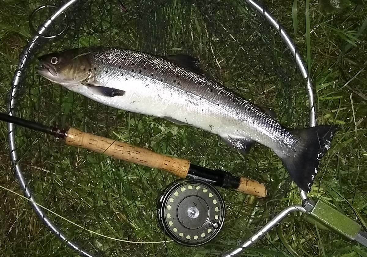
Border Esk sea trout, July 30th 2019
The Club is a not for
profit association open to locals and visitors alike, the objects of which
are to promote the sport of angling and in particular protect, improve and
develop the Rivers Esk and Liddel from its confluence to its head waters and
all the tributaries as a facility for fishing, to help to maintain these
rivers and improve biodiversity for the benefit of the public and to promote
enjoyment of the river by the general public and in particular to take
specific action to promote the sport of angling amongst young people and
people with disabilities.
In addition the club
recognise the contribution angling can make to the economy of local
communities. To this end we have engaged with a range of local businesses to
discuss what the Club might do to encourage tourists and visitors to the
area.
An impressive 2012 catch return of 198 salmon and 980 sea
trout was the best in 10 years and if sustained, bodes well for the future.
 |
 |
|
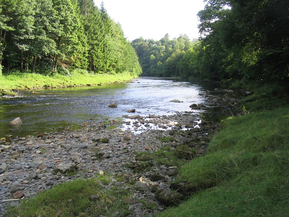
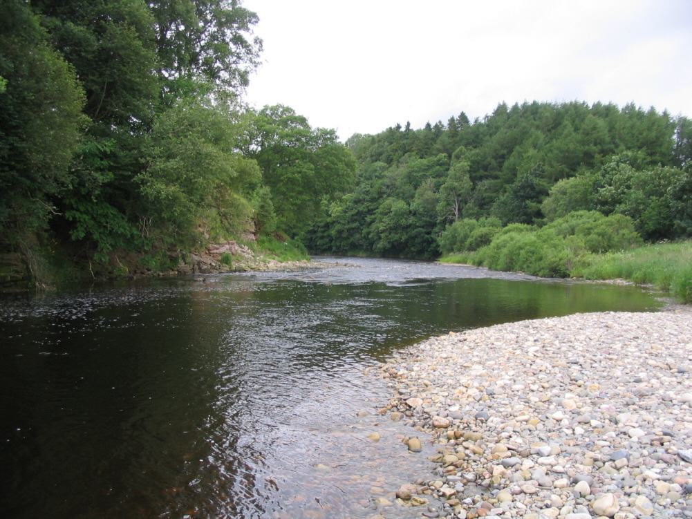
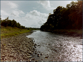
Border Esk at Byreburnfoot |
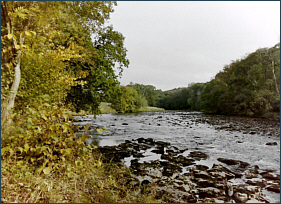
Burns's Stream, Border
Esk |
| |
|
 |
 |
|
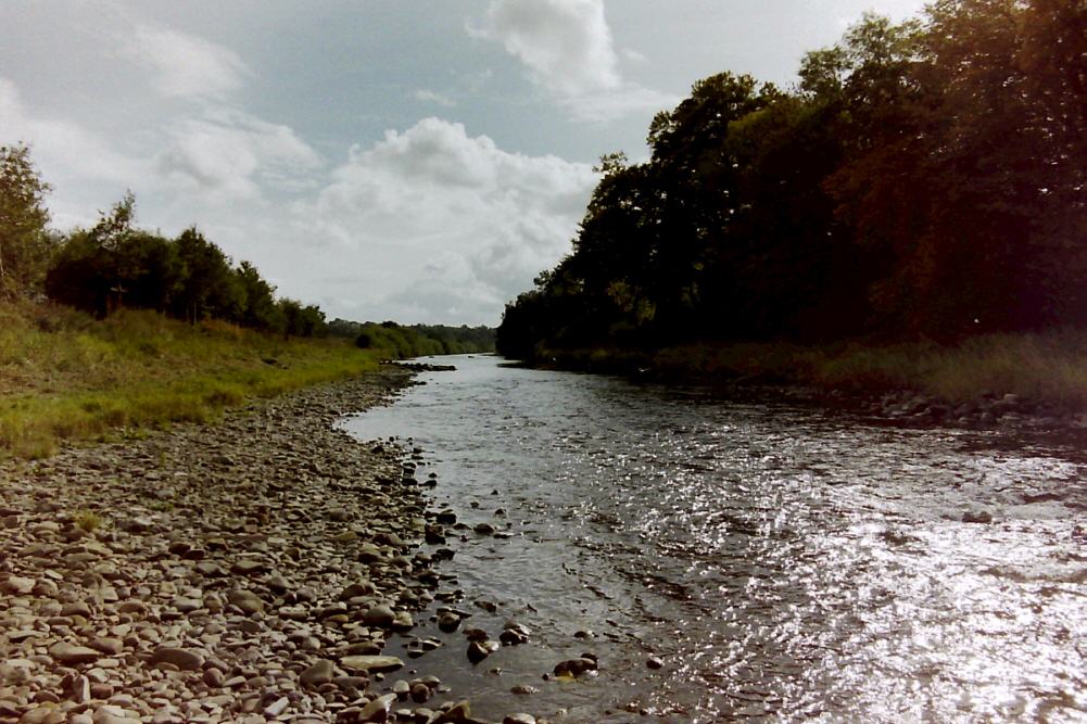
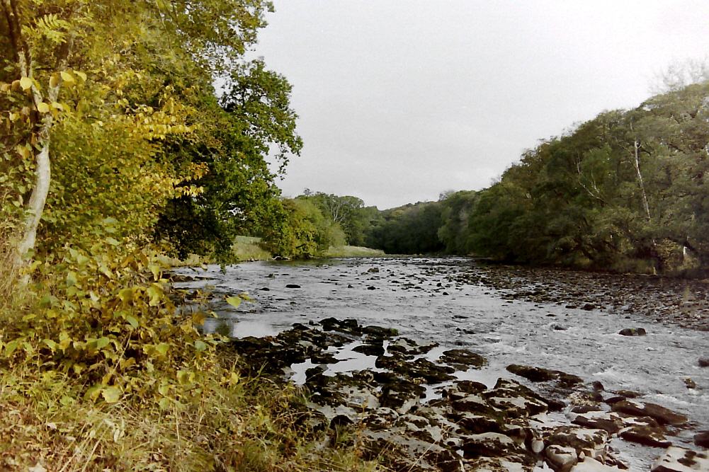
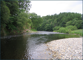
Meggie's Ford, Lower Liddle |
Swing Bridge, River
Liddle |
View more photographs of the Border Esk and River Liddle
on the following pages:
Border
Esk Photographs
River
Liddle Photographs
It is perhaps worth
noting here the ongoing controversy over the recent attempts by the
English Environment Agency to impose an English rod licence on anglers
fishing the Scottish beats of the Border Esk. In protest at this wholly
inappropriate, and legally questionable, action by the Environment
Agency, many Esk fishers, to their credit, are refusing to take permits
on the river, much to the detriment of the river and the local economy.
It is to be hoped that a reasonable compromise can be reached on the
matter and that normality might soon be restored to this once great sea
trout river. |
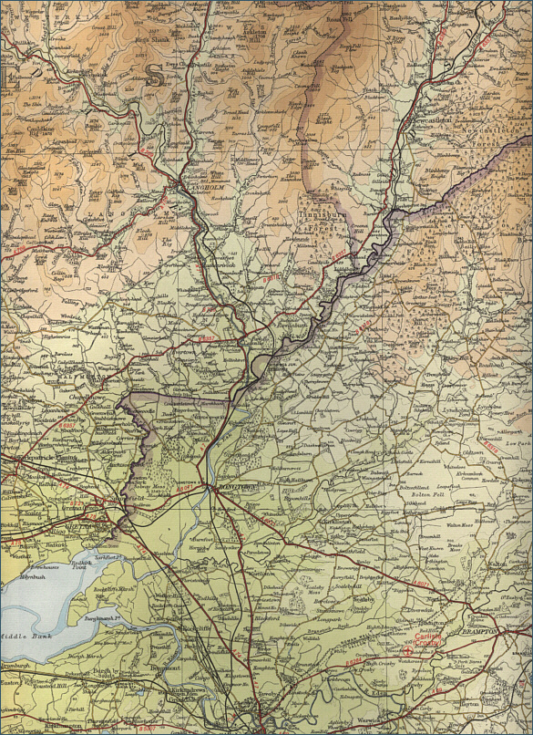
Border Esk - Fishing Map
To
view a larger scale map of a particular part of the Border
Esk area click on a selected area of the map below.
The maps on this website have been
reproduced with the permission of Collins Bartholomew. Please note that these maps may date back several decades.
Much of the human detail will have changed but the character of the rivers and
lochs, and the trout and salmon in them, will be much the same as they have
always been.
In addition to the information provided
here, I would recommend that anyone planning a fishing or
walking trip in Scotland should equip themselves with a compass
and the appropriate Ordnance Survey map. The most useful of the
O.S. maps for the fisherman is the Landranger series, scale
1:50,000. For each of the lochs and rivers listed here, I have given the
relevant O.S. Map number.
See
Ordnance
Survey Maps |