Sea Trout Fishing on River Ythan
Scotland
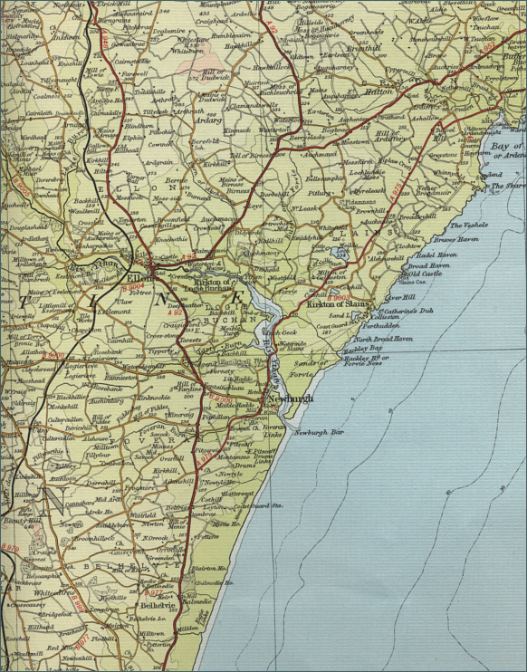
O. S. Map 38
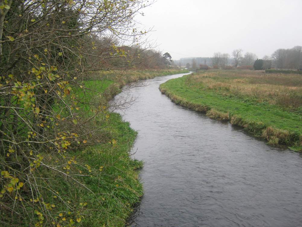
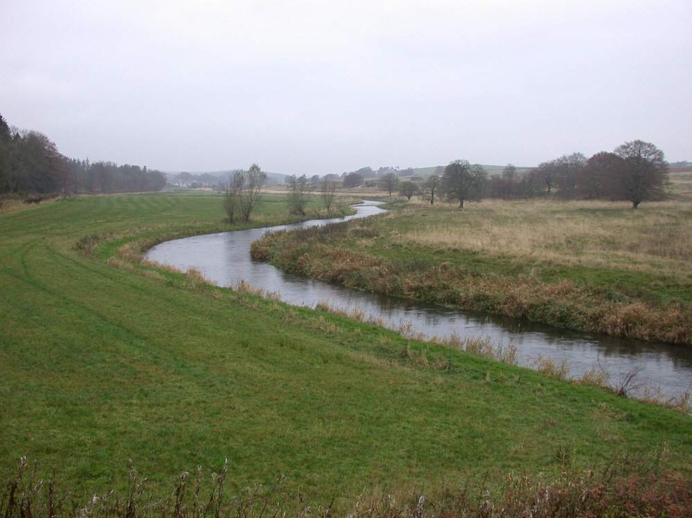
The River Ythan rises from the Wells of Ythan, at
the eastern end of Strathbogie, and flows the thirty odd miles
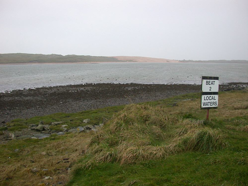
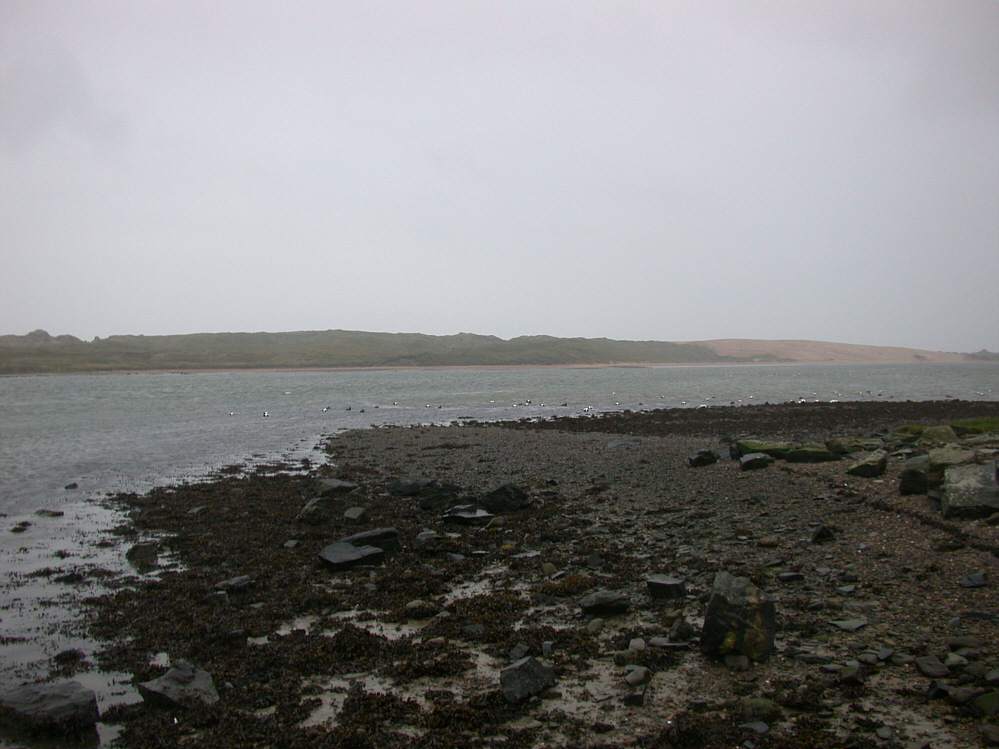
eastwards to enter the North Sea, via a four mile long estuary at
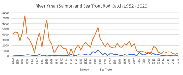
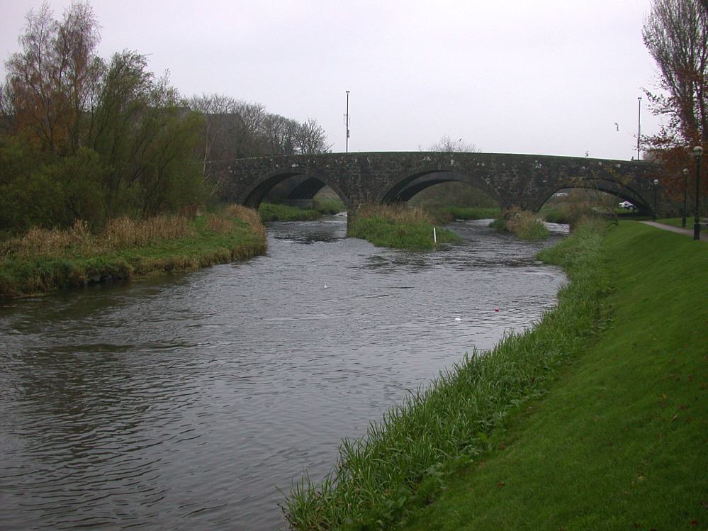
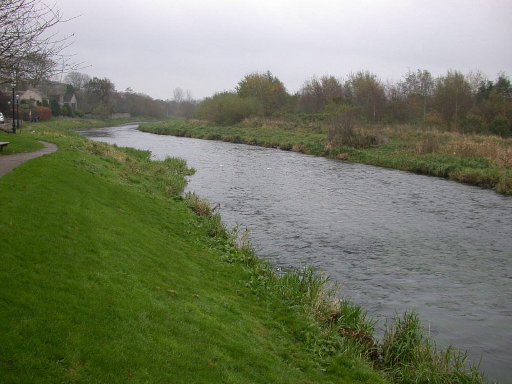
Newburgh. It is on the estuary that the fishing is concentrated,
with anything up to around 2000 sea trout, and a small number of
salmon, are taken each year.
Much of the fishing on the estuary was leased on a timeshare
basis a number of years ago - a great loss to both the local community
and the visiting angler generally. Day permits may occasionally be
available when the time-shared beats are not in use. The local angling club at Newburgh
still has access to a limited area. It fishes well from late May onwards, peaking in
July. Fishing may also be had further upriver at Methlick and Ellon
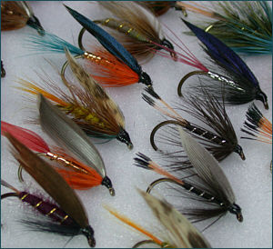
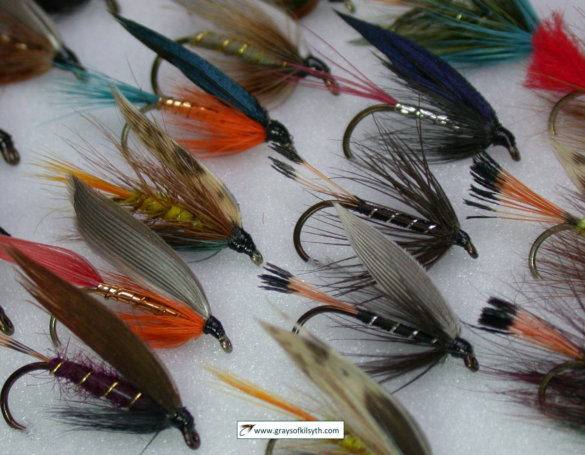
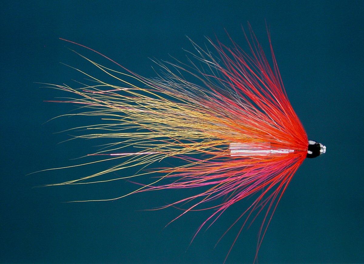
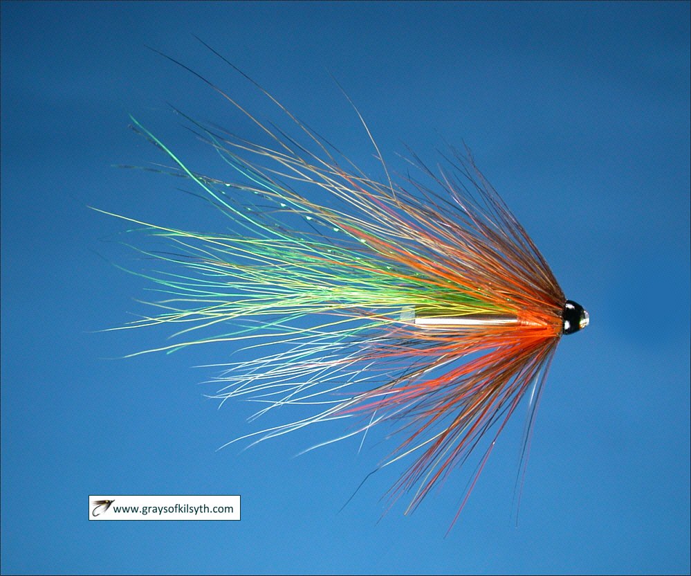
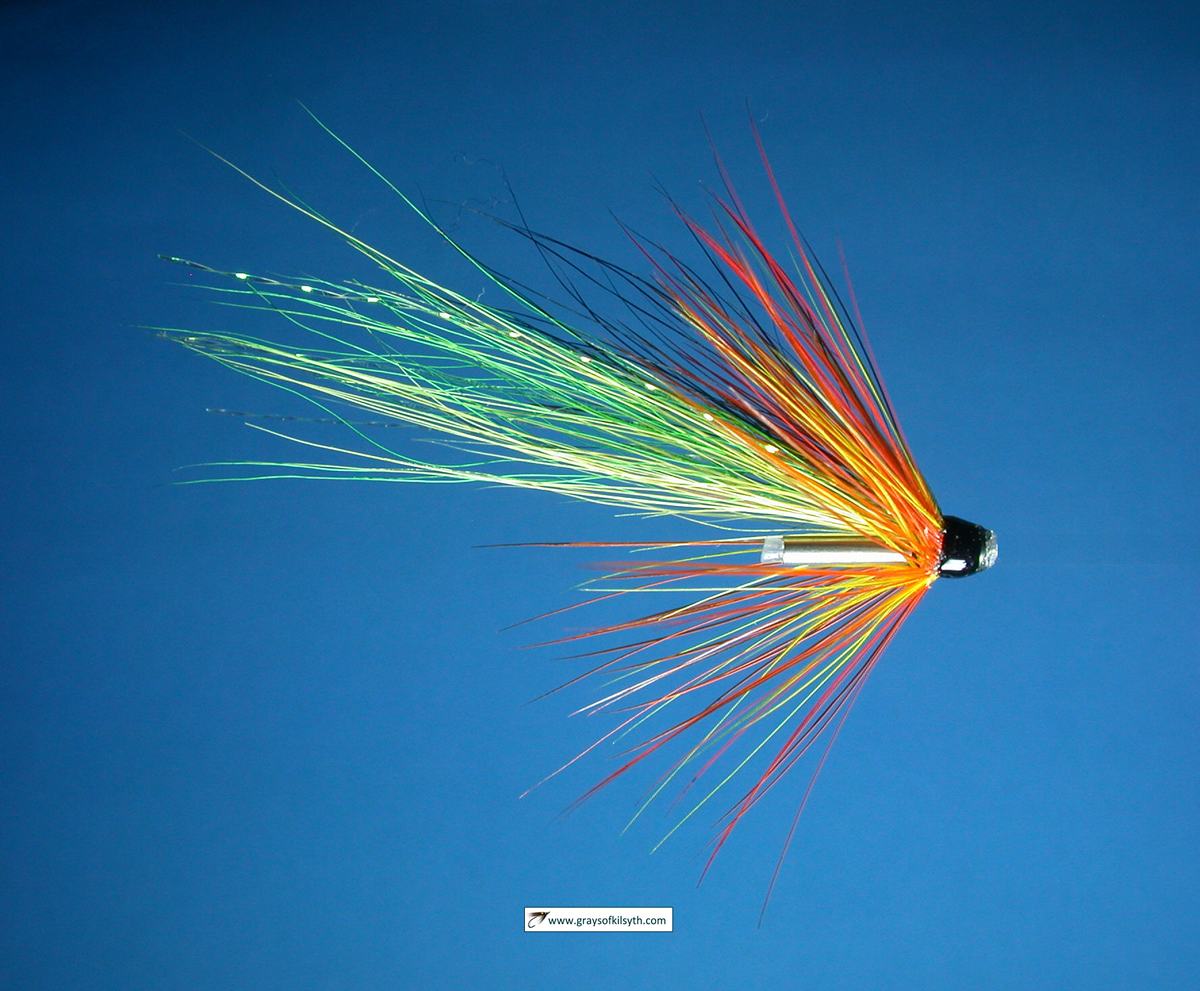
flies by
Grays of Kilsyth |