Photographs of the River Nairn
by John Gray
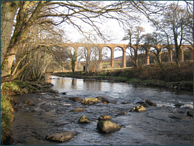
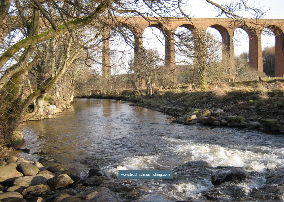
Rive Nairn at Clava
Below
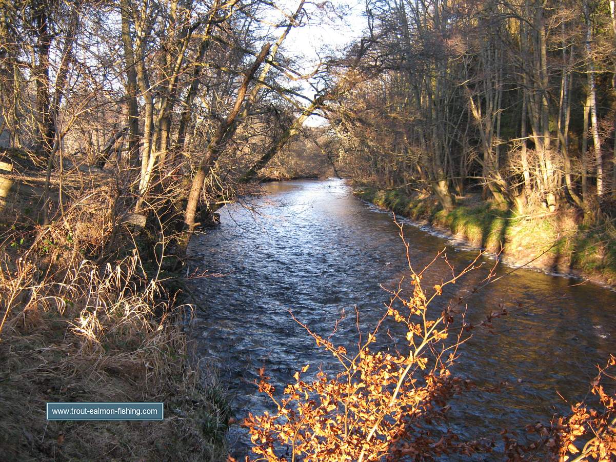
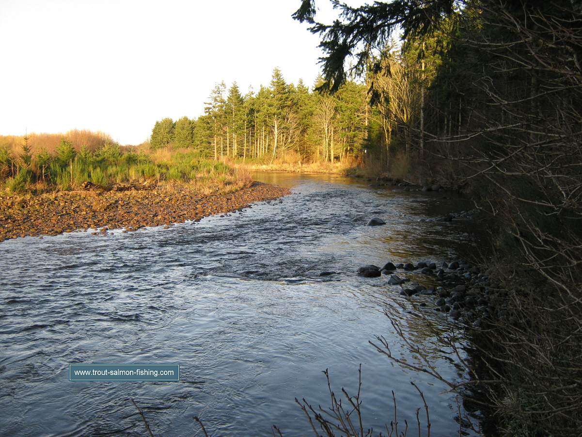
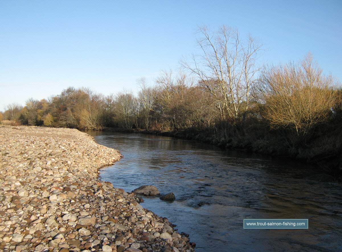
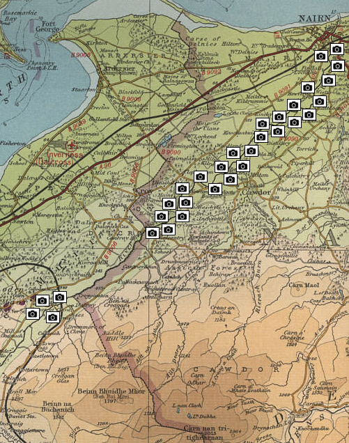
is a map of the River Nairn, showing links to photographs of many of the
fishing pools on the eight miles of the
Nairn Angling Association beats of the river from Clava to the
Moray Firth at Nairn.
River Nairn Map
click on a camera to view photograph
The maps on this website have been
reproduced with the permission of Collins Bartholomew.
Please note that these maps may date back several decades.
Much of the human detail will have changed but the character of the rivers and
lochs, and the trout and salmon in them, will be much the same as they have
always been.
In addition to the information provided
here, I would recommend that anyone planning a fishing or
walking trip in Scotland should equip themselves with a compass
and the appropriate Ordnance Survey map. The most useful of the
O.S. maps for the fisherman is the Landranger series, scale
1:50,000. For each of the lochs and rivers listed here, I have given the
relevant O.S. Map number. See
Ordnance
Survey Maps |